10. North Carolina
> Pct. state designated Flood Hazard Area, EPA 2020: 13.8% (7,441 sq. mi.)
> County with highest coastline flood risk index score: Dare (23.3/100 – Relatively Moderate)
> County with highest riverine flood risk index score: Edgecombe (28.3/100 – Relatively High)
> State population, 2021: 10,551,162
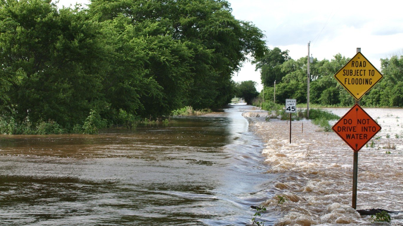
9. Oklahoma
> Pct. state designated Flood Hazard Area, EPA 2020: 14.6% (10,224 sq. mi.)
> County with highest coastline flood risk index score: N/A
> County with highest riverine flood risk index score: Oklahoma (25.3/100 – Relatively High)
> State population, 2021: 3,986,639
8. Georgia
> Pct. state designated Flood Hazard Area, EPA 2020: 14.7% (8,727 sq. mi.)
> County with highest coastline flood risk index score: Chatham (23.3/100 – Relatively Moderate)
> County with highest riverine flood risk index score: DeKalb (19.5/100 – Relatively Low)
> State population, 2021: 10,799,566
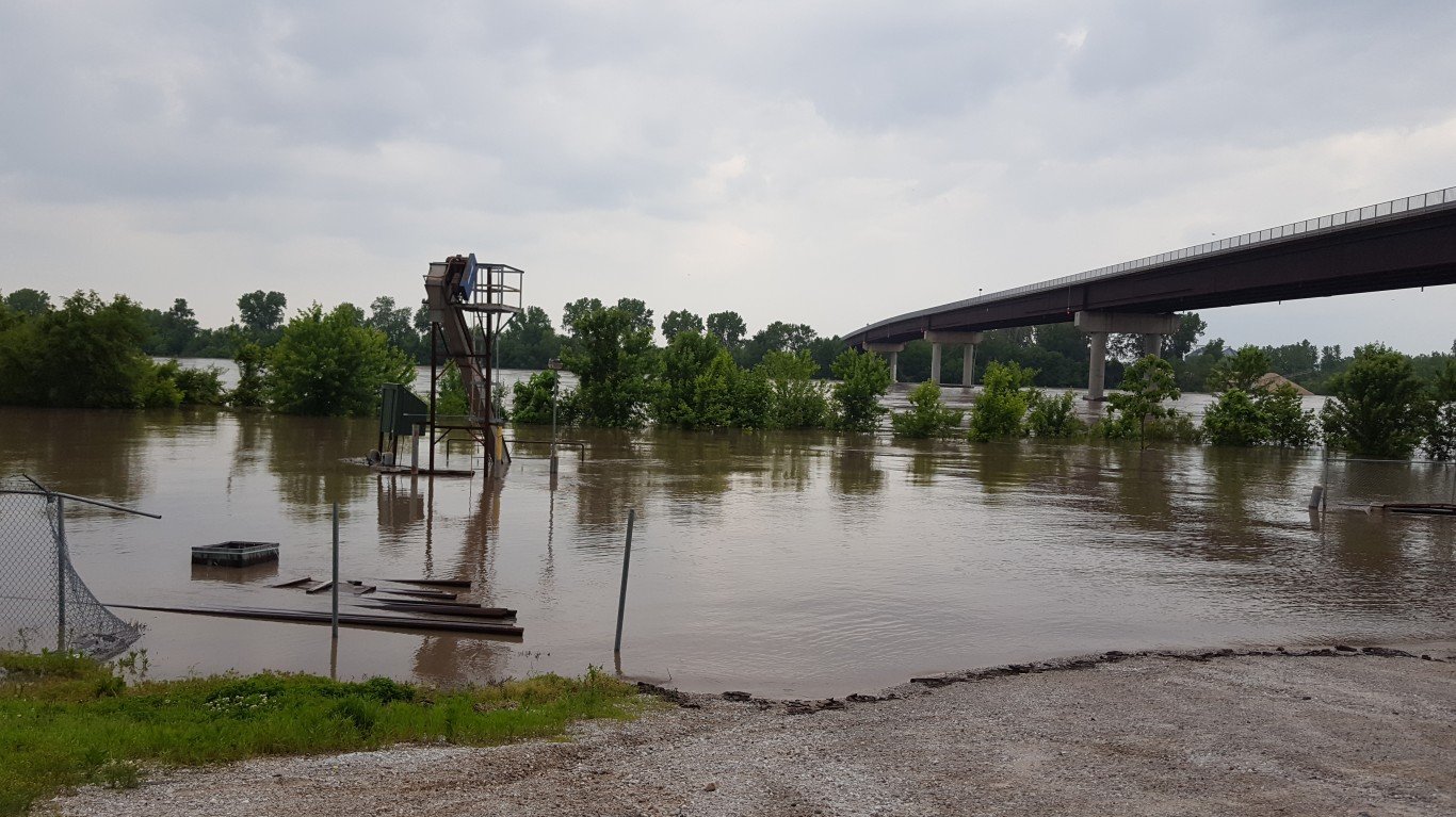
7. Missouri
> Pct. state designated Flood Hazard Area, EPA 2020: 14.7% (10,260 sq. mi.)
> County with highest coastline flood risk index score: N/A
> County with highest riverine flood risk index score: Taney (27.0/100 – Relatively Low)
> State population, 2021: 6,168,187
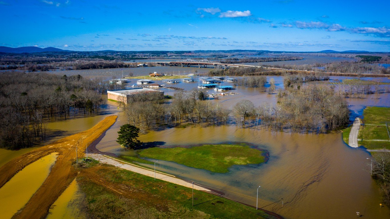
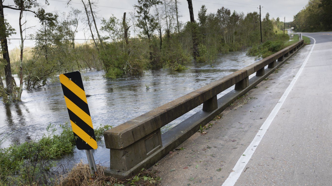
6. Alabama
> Pct. state designated Flood Hazard Area, EPA 2020: 15.2% (7,972 sq. mi.)
> County with highest coastline flood risk index score: Mobile (13.8/100 – Relatively Low)
> County with highest riverine flood risk index score: Jefferson (38.9/100 – Relatively High)
> State population, 2021: 5,039,877


