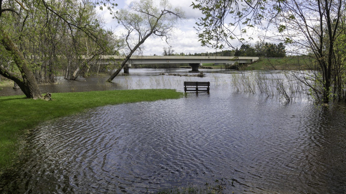
20. Minnesota
> Pct. state designated Flood Hazard Area, EPA 2020: 12.0% (10,395 sq. mi.)
> County with highest coastline flood risk index score: N/A
> County with highest riverine flood risk index score: Fillmore (13.8/100 – Relatively Moderate)
> State population, 2021: 5,707,390
19. Iowa
> Pct. state designated Flood Hazard Area, EPA 2020: 12.2% (6,841 sq. mi.)
> County with highest coastline flood risk index score: N/A
> County with highest riverine flood risk index score: Linn (23.7/100 – Relatively Low)
> State population, 2021: 3,193,079
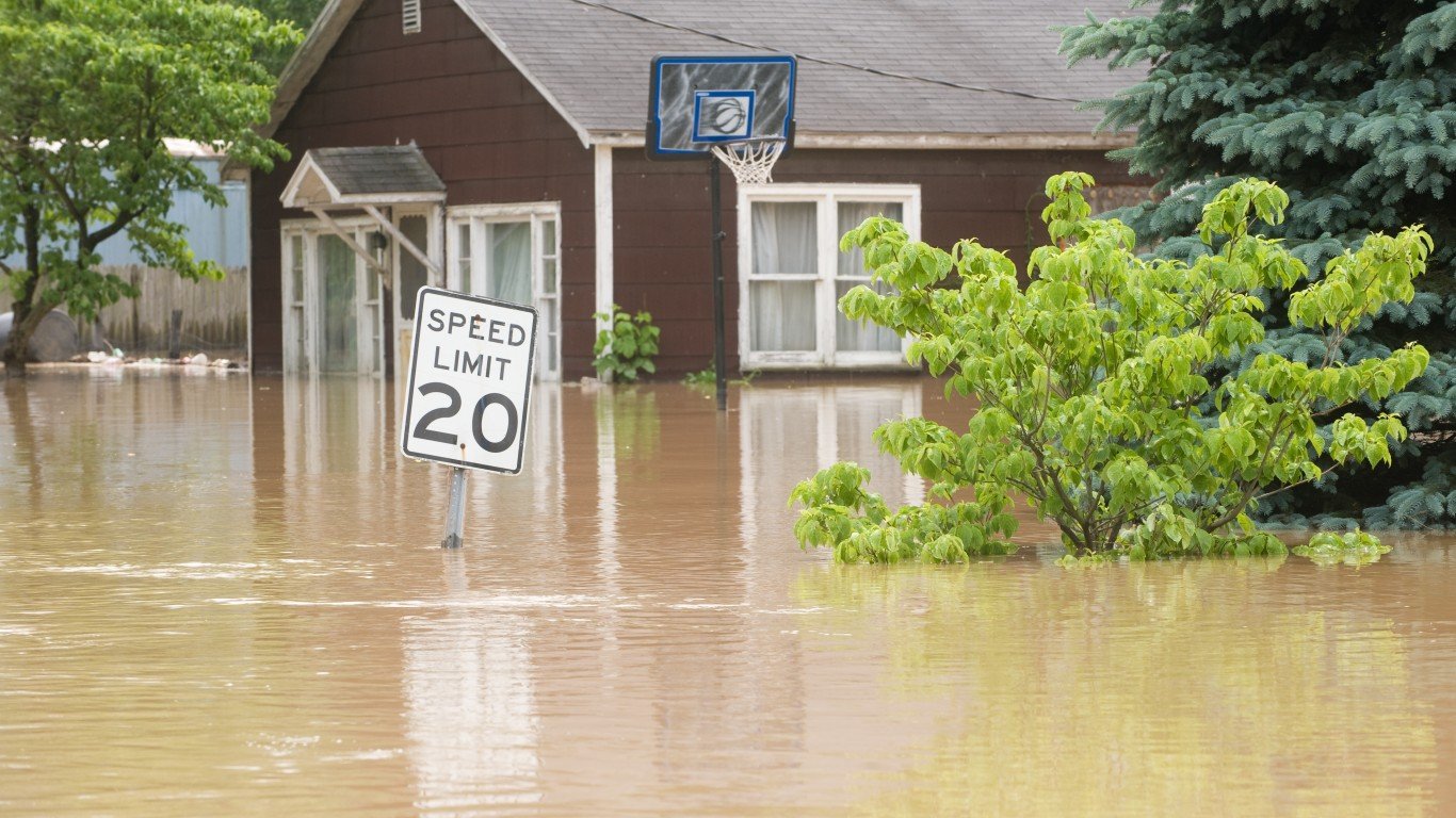
18. Indiana
> Pct. state designated Flood Hazard Area, EPA 2020: 12.2% (4,461 sq. mi.)
> County with highest coastline flood risk index score: N/A
> County with highest riverine flood risk index score: Lake (20.4/100 – Relatively Low)
> State population, 2021: 6,805,985
17. Tennessee
> Pct. state designated Flood Hazard Area, EPA 2020: 12.4% (5,208 sq. mi.)
> County with highest coastline flood risk index score: N/A
> County with highest riverine flood risk index score: Shelby (52.4/100 – Relatively Low)
> State population, 2021: 6,975,218
16. Kansas
> Pct. state designated Flood Hazard Area, EPA 2020: 12.6% (10,373 sq. mi.)
> County with highest coastline flood risk index score: N/A
> County with highest riverine flood risk index score: Montgomery (21.5/100 – Relatively Low)
> State population, 2021: 2,934,582
