Easter Island
> Location: Southeastern Pacific Ocean (Chile)
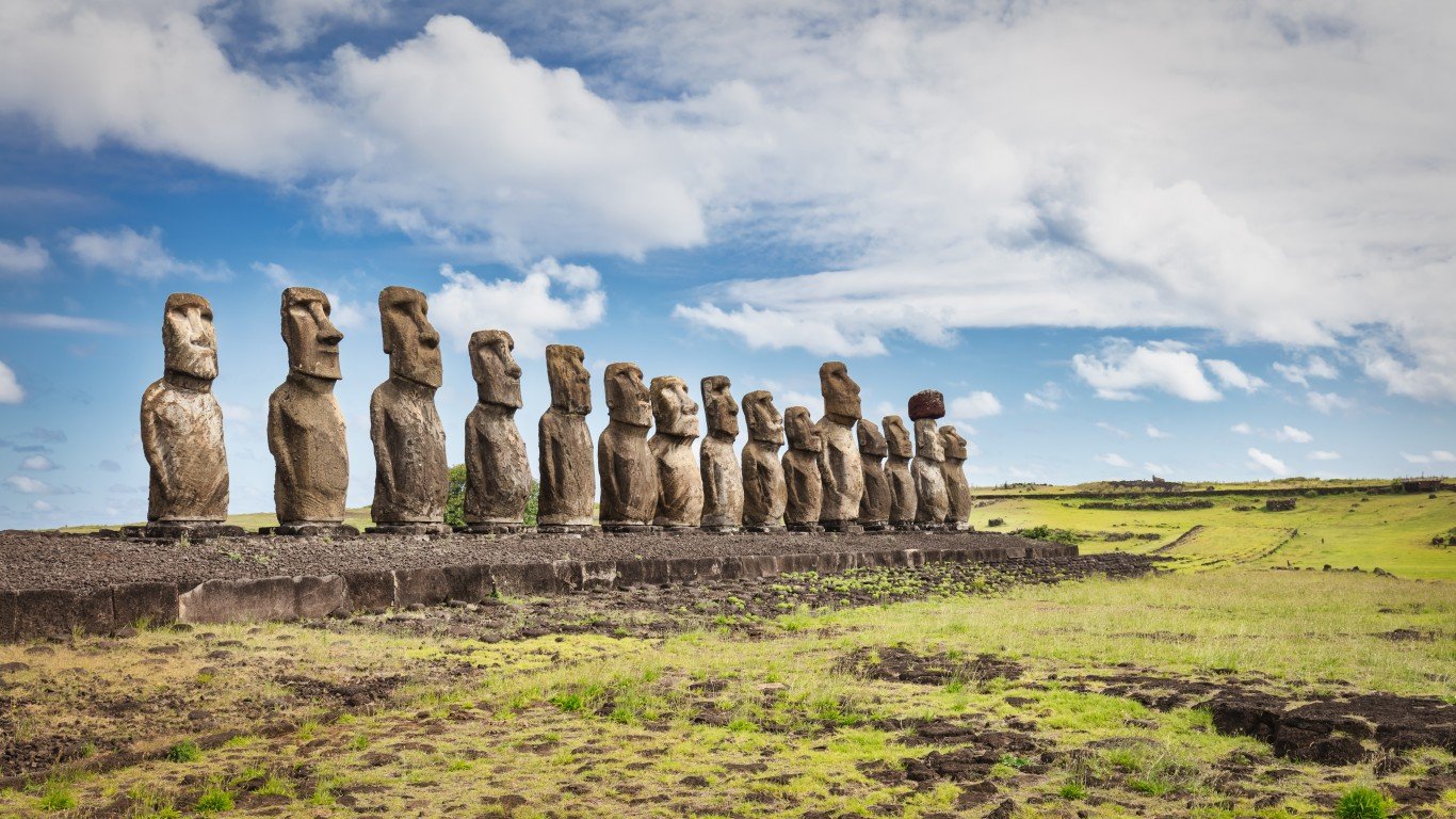
Rapa Nui, also known as Easter Island, is a 63-square-mile volcanic island, and one of the most isolated inhabited islands on earth. It’s famous for its hundreds of ancient stone monolithic statues called Moai – commonly referred to as the Easter Island heads. The heads, in fact, have bodies that lie under years of sediment, many of them covered in petroglyphs. Possibly erected to promote agricultural fertility, the carvings can reach 33 feet high and weigh 80 tons. How the massive stones were moved into place has long been a subject of debate, but Rapa Nui oral history dictates that the statues were commanded to walk on their own.
Giant’s Causeway
> Location: County Antrim, Northern Ireland
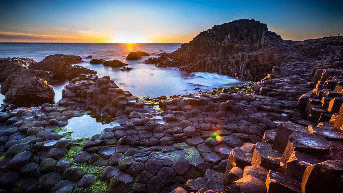
Made of a patchwork of 40,000 interlocking basalt columns, the Giant’s Causeway is a volcanic formation over 50 million years old. The site has inspired many local legends about a giant named Finn McCool, who is said to have built the causeway with stones, either while fighting with a Scottish rival across the sea or while trying to lure a lady he fancied to cross the sea and live with him in Ireland.
Devils Tower National Monument
> Location: Crook County, Wyoming
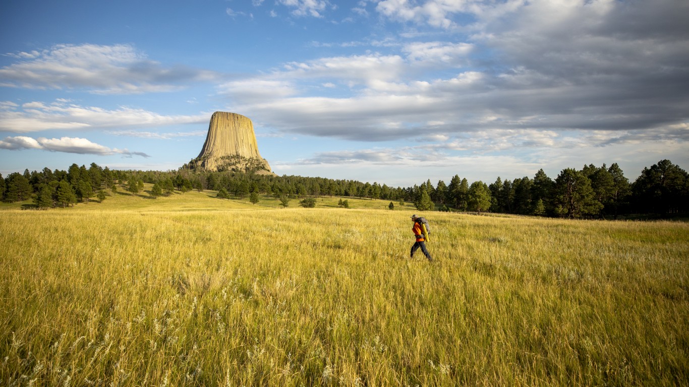
Misnamed through a poor translation of a Native American name during a U.S. Army expedition, this striking monument is more commonly known as Bear Lodge by local indigenous peoples. Numerous origin myths attribute its striped appearance to the claw marks of a hungry bear that chased a group of children up the steep tower. Rising 867 feet from its base, the monolith is the largest example of columnar jointing in the world. Scientists disagree about how the tower formed but know that its composition is a rare igneous rock called phonolite porphyry.
Roanoke Island
> Location: Dare County, North Carolina
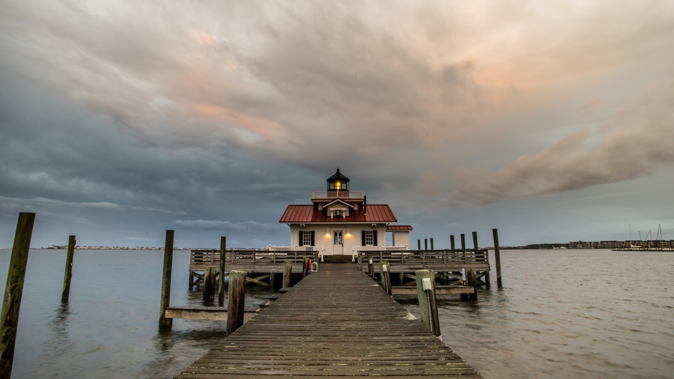
Starting in 1585, colonist Walter Raleigh attempted to establish the first permanent English colony in North America. Food shortages and long supply delays plagued the Roanoke colony, and by the time a supply ship arrived – two years late – there was little trace of the 115 inhabitants. A single carved word, “Croatoan,” suggested that they may have relocated to the island of Croatoan (now Hatteras), however no sure sign of them was ever found again.
Some investigations uncovered stories that they were killed by local Native Americans or by the Spanish, while other reports suggest they were assimilated into local tribes or attempted to return to England but were shipwrecked along the way. New theories and archeological evidence continue to arise year after year, but the mystery has yet to be solved.
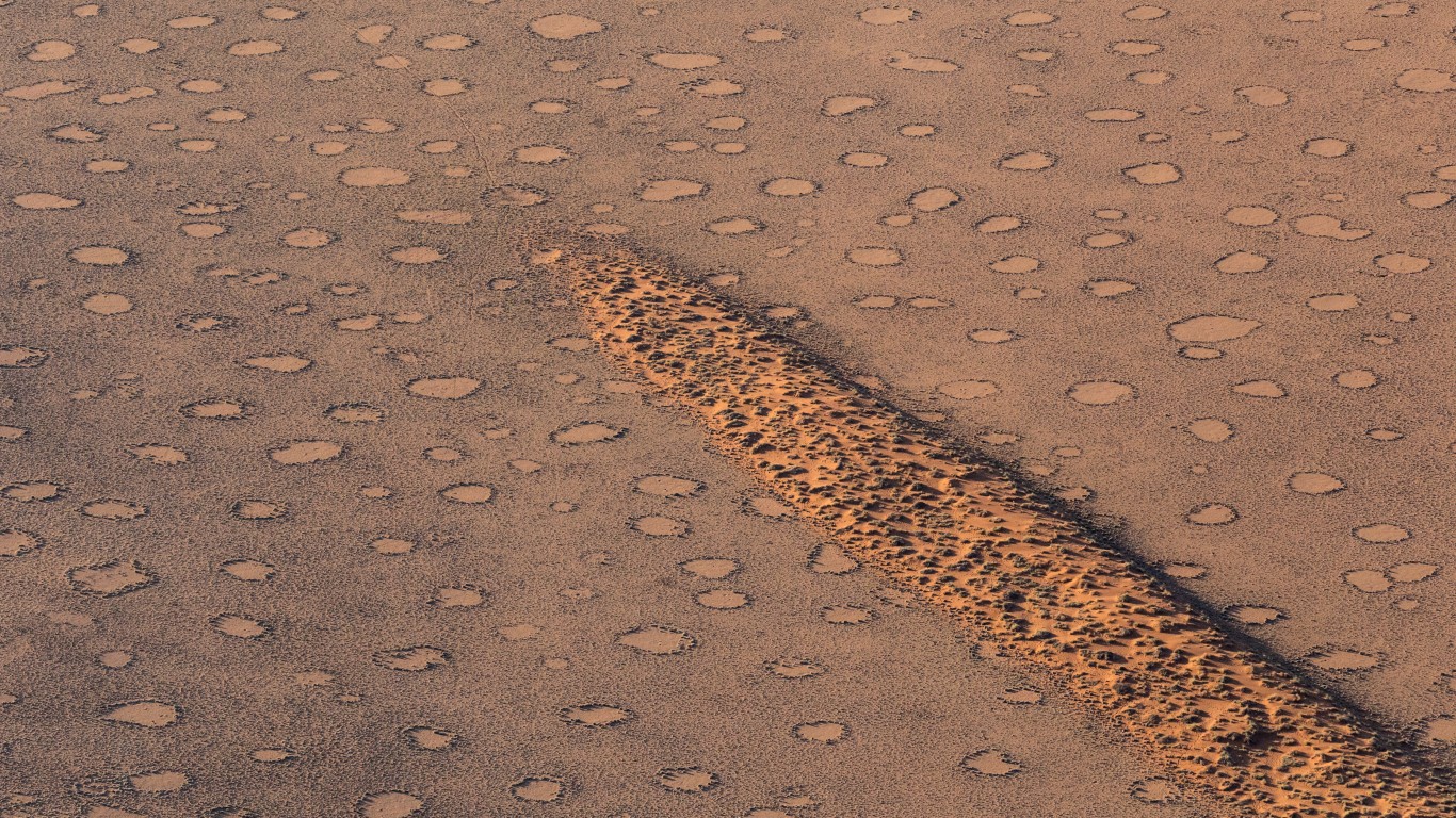
Fairy Circles
> Location: Namib Desert, Namibia
In the red sands of the Namib desert, the dry grasslands are dotted with strangely circular bare spots ranging from 10 to 65 feet in diameter, creating the appearance of a polka-dotted landscape. The formations, which are very regularly spaced, have stumped scientists for decades. A strange finding reveals that a termite colony is established under each bare spot, leading to a prevailing theory involving an interplay between plant competition for water and termite colony turf wars.


