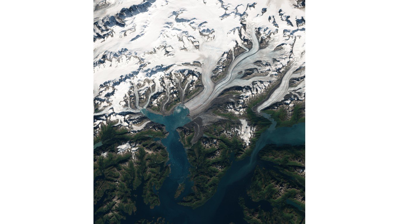
16. Columbia Glacier
> Land area: 161.51 square miles
> Closest town, borough, or school district: Chugach School District, Alaska (pop: 370 students)
> Map coordinates: Lat: 47.962 Long: -121.348
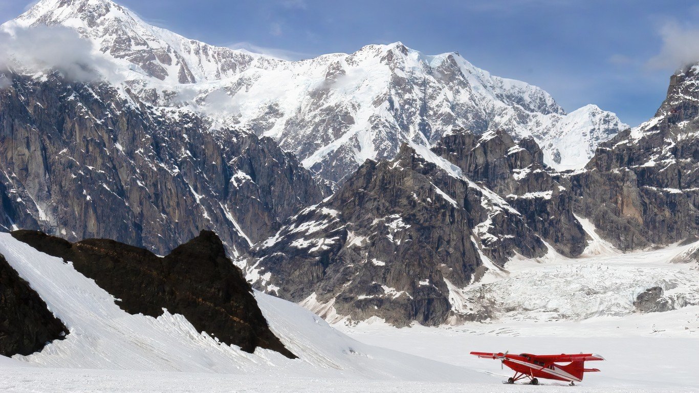
15. Ruth Glacier
> Land area: 163.15 square miles
> Closest town, borough, or school district: Trapper Creek, Alaska (pop: 481)
> Map coordinates: Lat: 62.923 Long: -150.749
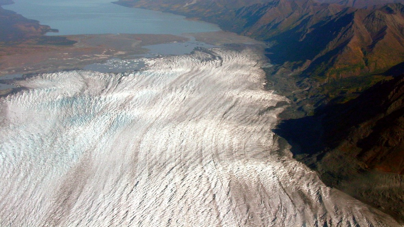
14. Tazlina Glacier
> Land area: 163.77 square miles
> Closest town, borough, or school district: Copper River School District, Alaska (pop: 446 students)
> Map coordinates: Lat: 61.522 Long: -146.557
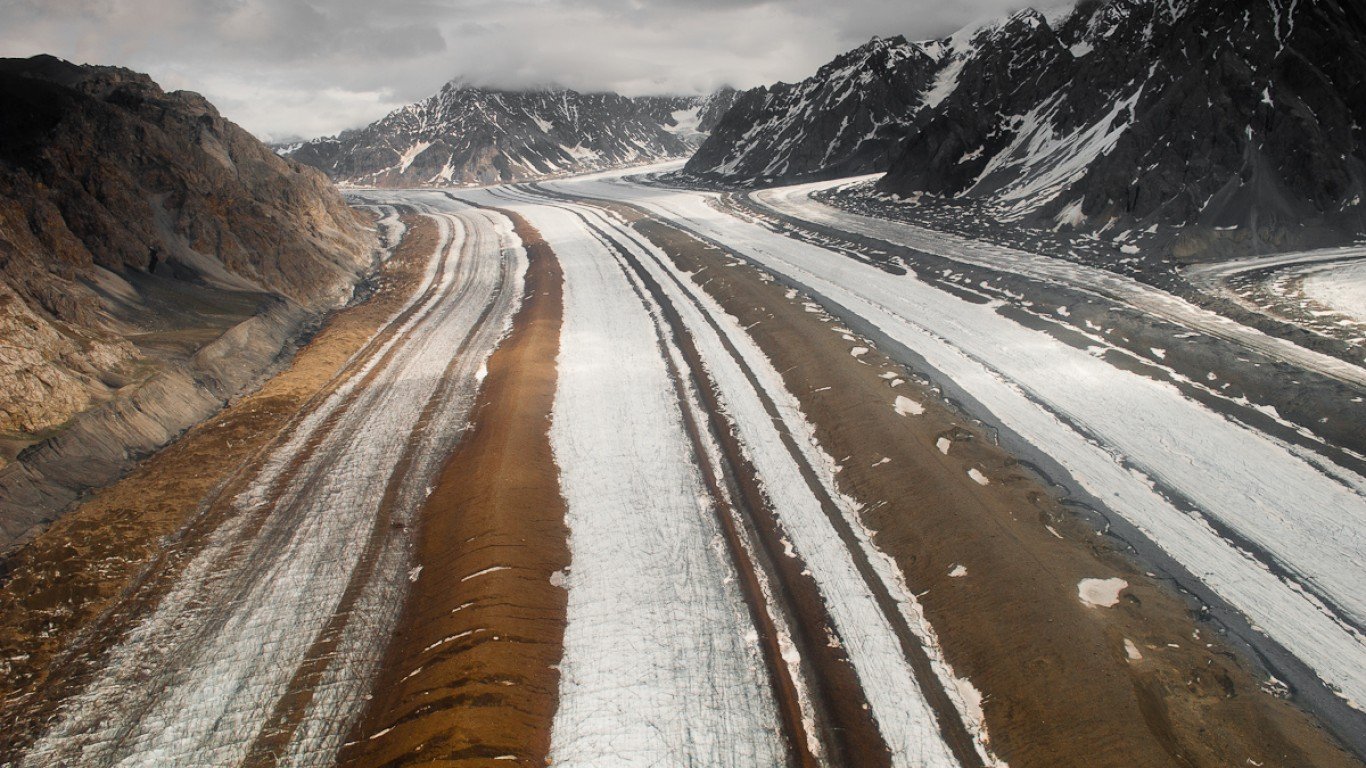
13. Barnard Glacier
> Land area: 177.01 square miles
> Closest town, borough, or school district: McCarthy, Alaska (pop: 28)
> Map coordinates: Lat: 61.198 Long: -141.588
12. Sargent Icefield
> Land area: 184.47 square miles
> Closest town, borough, or school district: Primrose, Alaska (pop: 78)
> Map coordinates: Lat: 60.413 Long: -148.603


