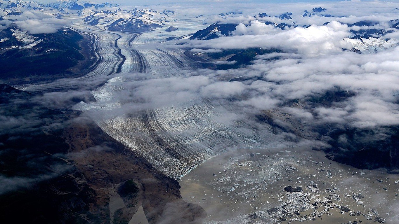
11. Miles Glacier
> Land area: 187.51 square miles
> Closest town, borough, or school district: Chugach School District, Alaska (pop: 370 students)
> Map coordinates: Lat: 60.620 Long: -144.202
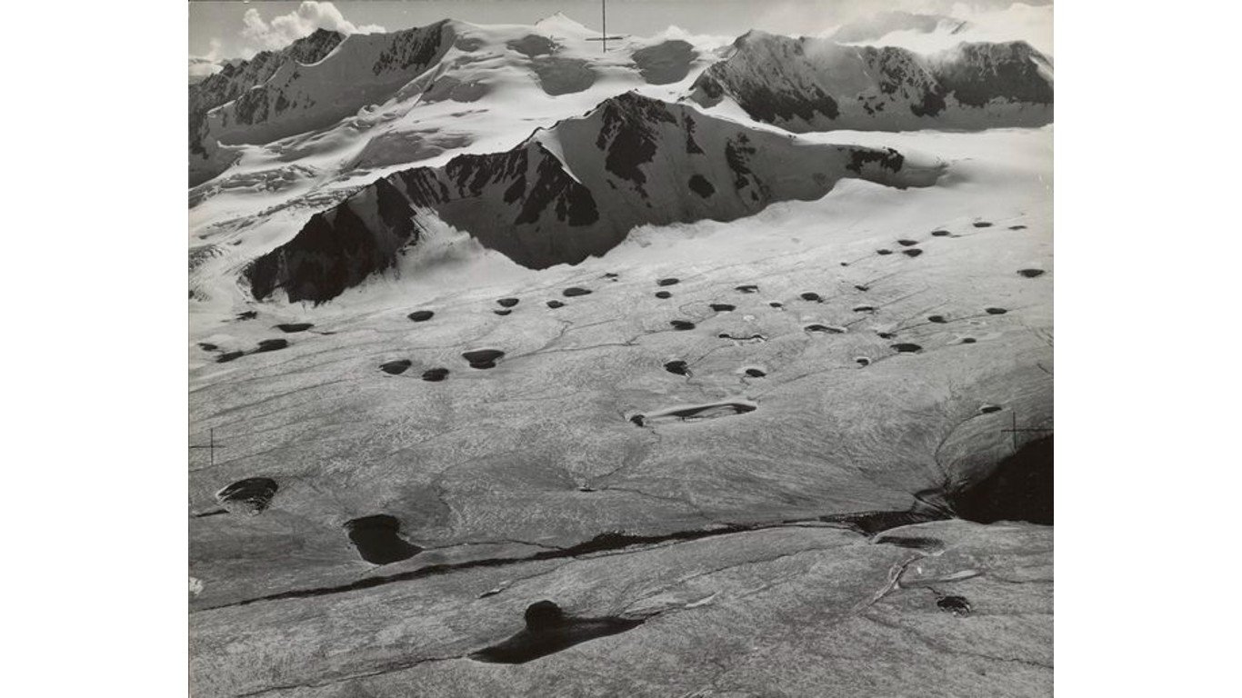
10. Black Rapids Glacier
> Land area: 197.22 square miles
> Closest town, borough, or school district: Matanuska-Susitna Borough School District, Alaska (pop: 15,969 students)
> Map coordinates: Lat: 63.431 Long: -146.296
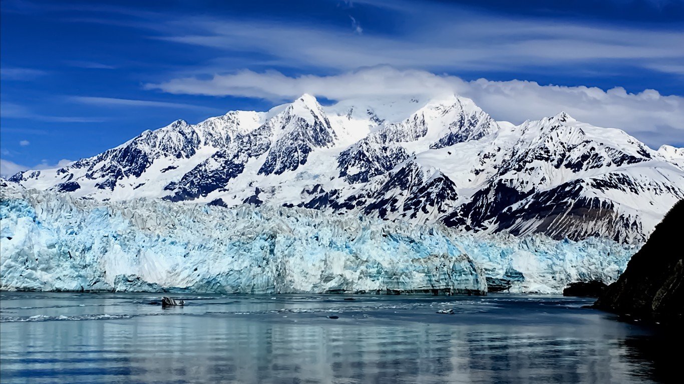
9. Hubbard Glacier
> Land area: 214.10 square miles
> Closest town, borough, or school district: Yakutat, Alaska (pop: 649)
> Map coordinates: Lat: 60.238 Long: -139.355
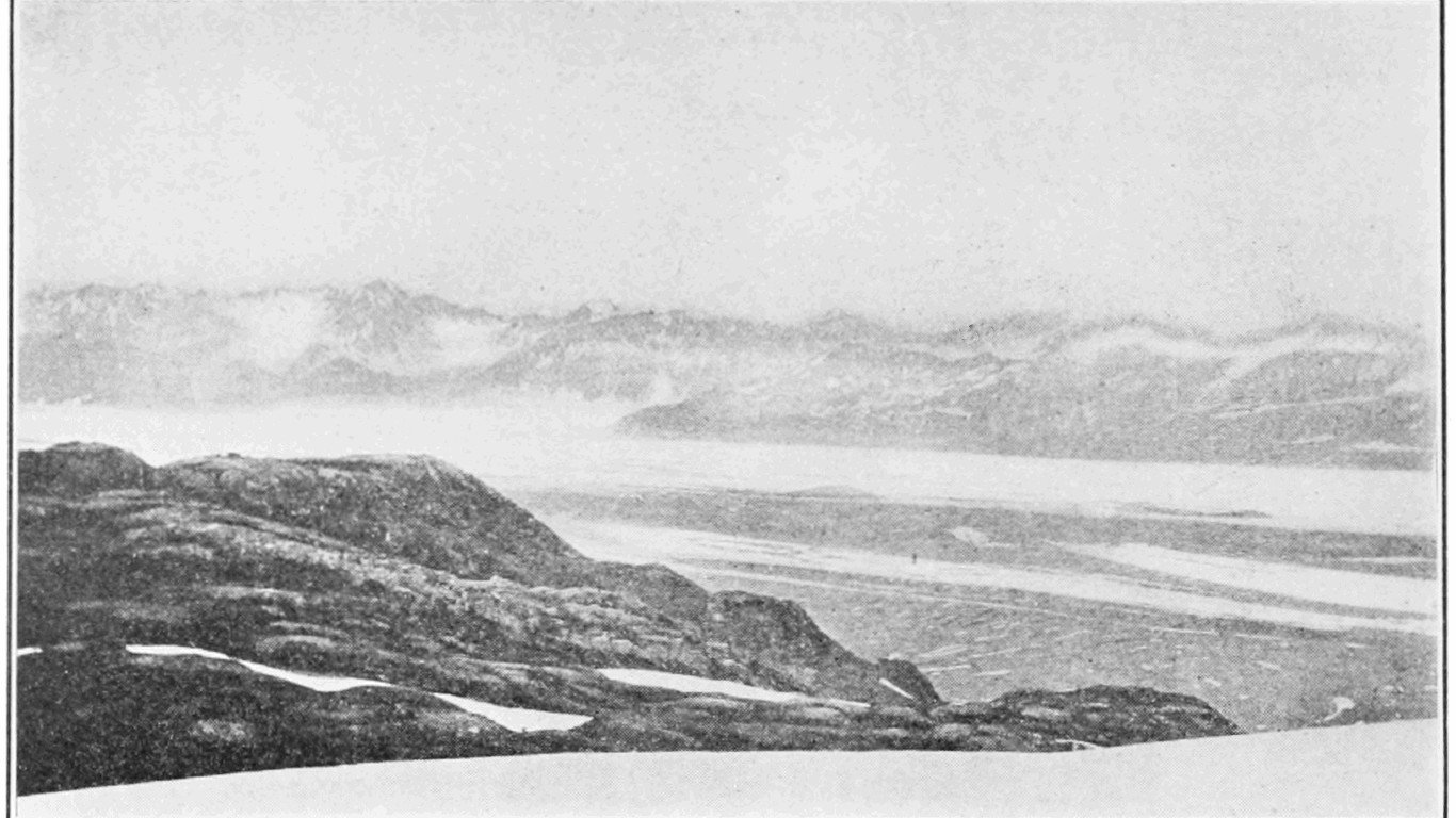
8. Martin River Glacier
> Land area: 243.78 square miles
> Closest town, borough, or school district: Cordova, Alaska (pop: 2,239)
> Map coordinates: Lat: 60.552 Long: -143.670
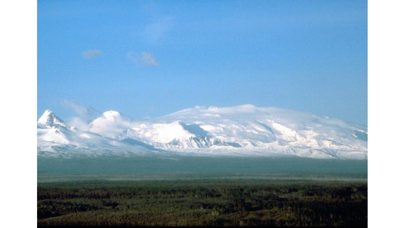
7. Wrangell Icefield
> Land area: 246.11 square miles
> Closest town, borough, or school district: Silver Springs, Alaska (pop: 114)
> Map coordinates: Lat: 62.032 Long: -143.922


