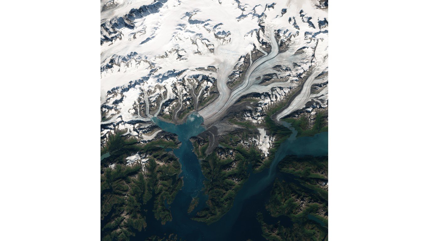
50. First Branch Columbia Glacier
> Land area: 36.4 square miles
> Closest town, borough, or school district: Valdez, Alaska (pop: 3,985)
> Map coordinates: Lat: 61.152, Long: -147.286
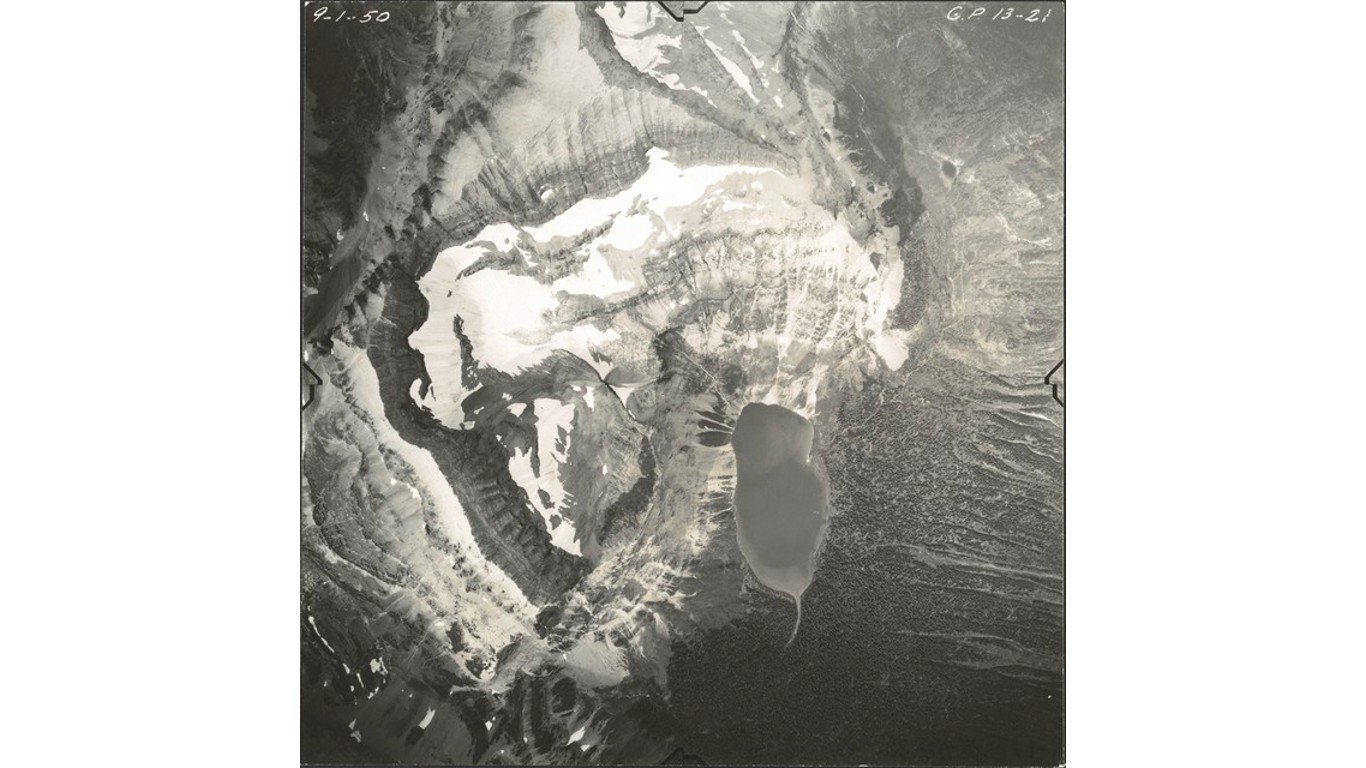
49. Dixon Glacier
> Land area: 37.1 square miles
> Closest town, borough, or school district: St. Mary, Montana (pop: 50)
> Map coordinates: Lat: 48.929, Long: -114.016
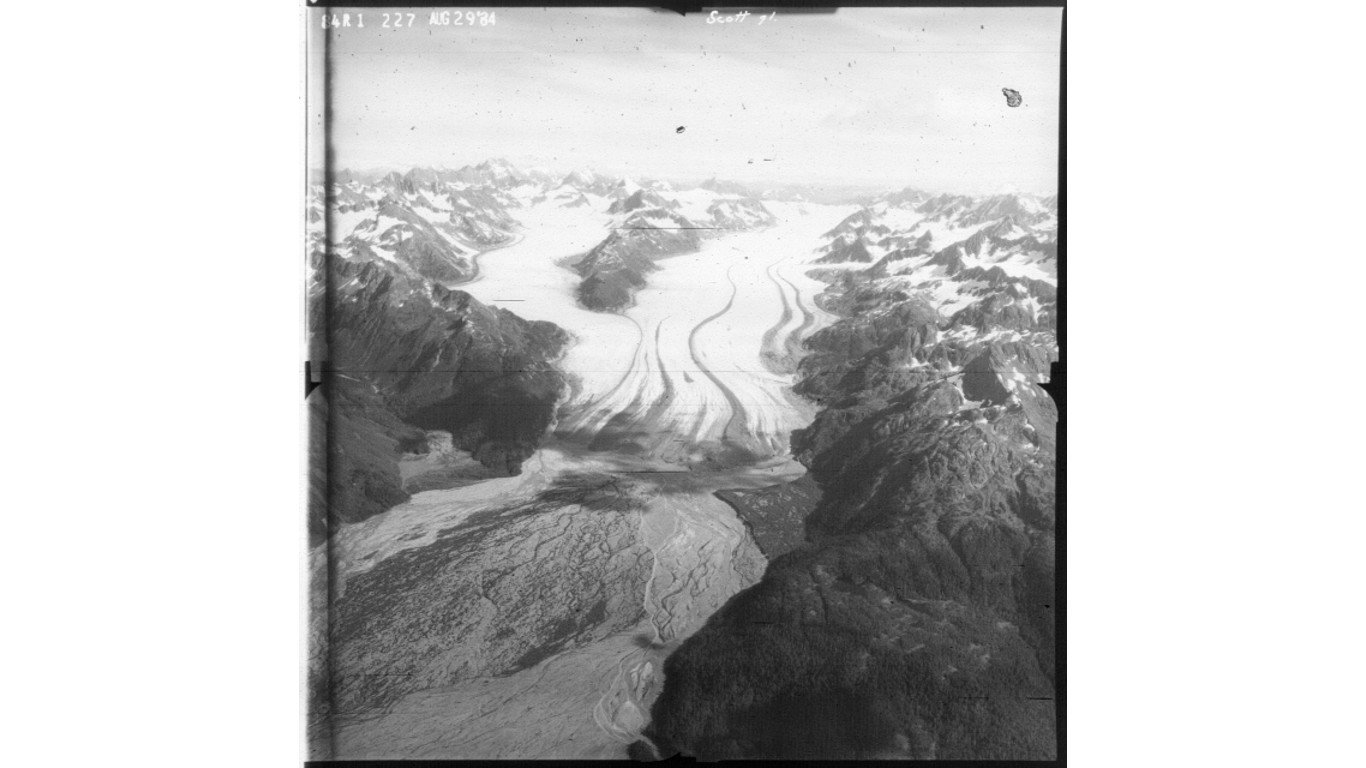
48. Scott Glacier
> Land area: 38.1 square miles
> Closest town, borough, or school district: Cordova, Alaska (pop: 2,239)
> Map coordinates: Lat: 60.673, Long: -145.200
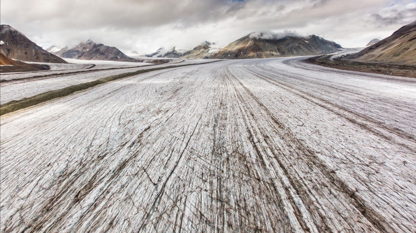
47. Rohn Glacier
> Land area: 38.7 square miles
> Closest town, borough, or school district: McCarthy, Alaska (pop: 28)
> Map coordinates: Lat: 61.767, Long: -142.639
46. Dahlgren Ridge Glacier
> Land area: 39.0 square miles
> Closest town, borough, or school district: McCarthy, Alaska (pop: 28)
> Map coordinates: Lat: 60.241, Long: -142.271
