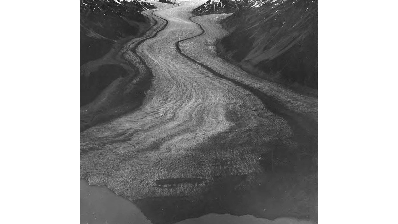
45. Shamrock Glacier
> Land area: 40.7 square miles
> Closest town, borough, or school district: Tyonek, Alaska (pop: 171)
> Map coordinates: Lat: 61.082, Long: -152.859

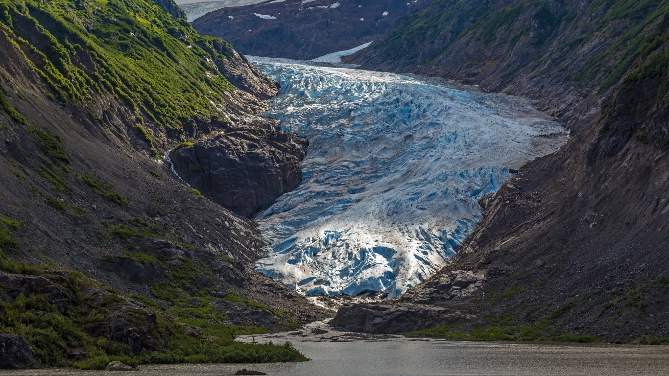
44. Bear Glacier
> Land area: 41.4 square miles
> Closest town, borough, or school district: Lowell Point, Alaska (pop: 80)
> Map coordinates: Lat: 60.027, Long: -149.652
 24/7 Tempo
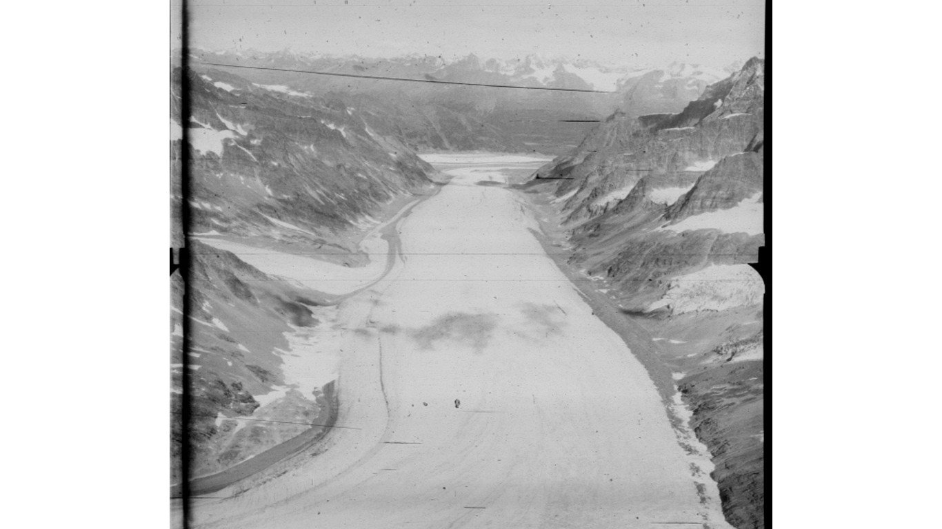
43. Woodworth Glacier
> Land area: 43.8 square miles
> Closest town, borough, or school district: Valdez, Alaska (pop: 3,985)
> Map coordinates: Lat: 60.936, Long: -145.512
42. Wolverine Glacier
> Land area: 46.6 square miles
> Closest town, borough, or school district: Primrose, Alaska (pop: 78)
> Map coordinates: Lat: 60.458, Long: -148.927
41. Susitna Glacier
> Land area: 52.8 square miles
> Closest town, borough, or school district: Fairbanks North Star Borough, Alaska (pop: 96,849)
> Map coordinates: Lat: 63.549, Long: -146.843


