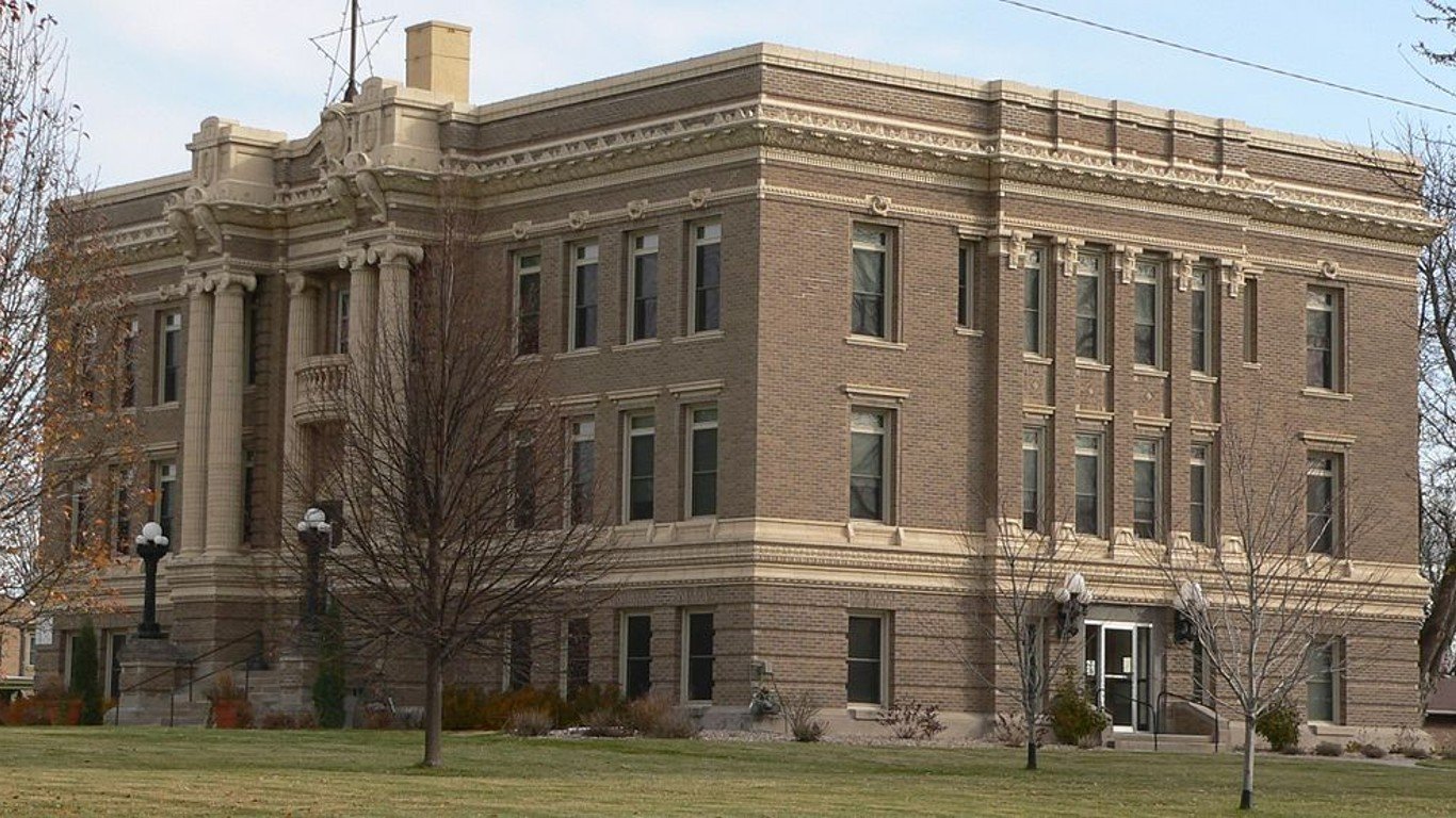
20. Clay, Nebraska
> Land area in “exceptional” drought: 34.8% (199 square miles)
> Population of area in “exceptional” drought: 2,277
> Land area in “extreme” drought: 99.8% (572 square miles)
> Population of area in “extreme” drought: 6,531
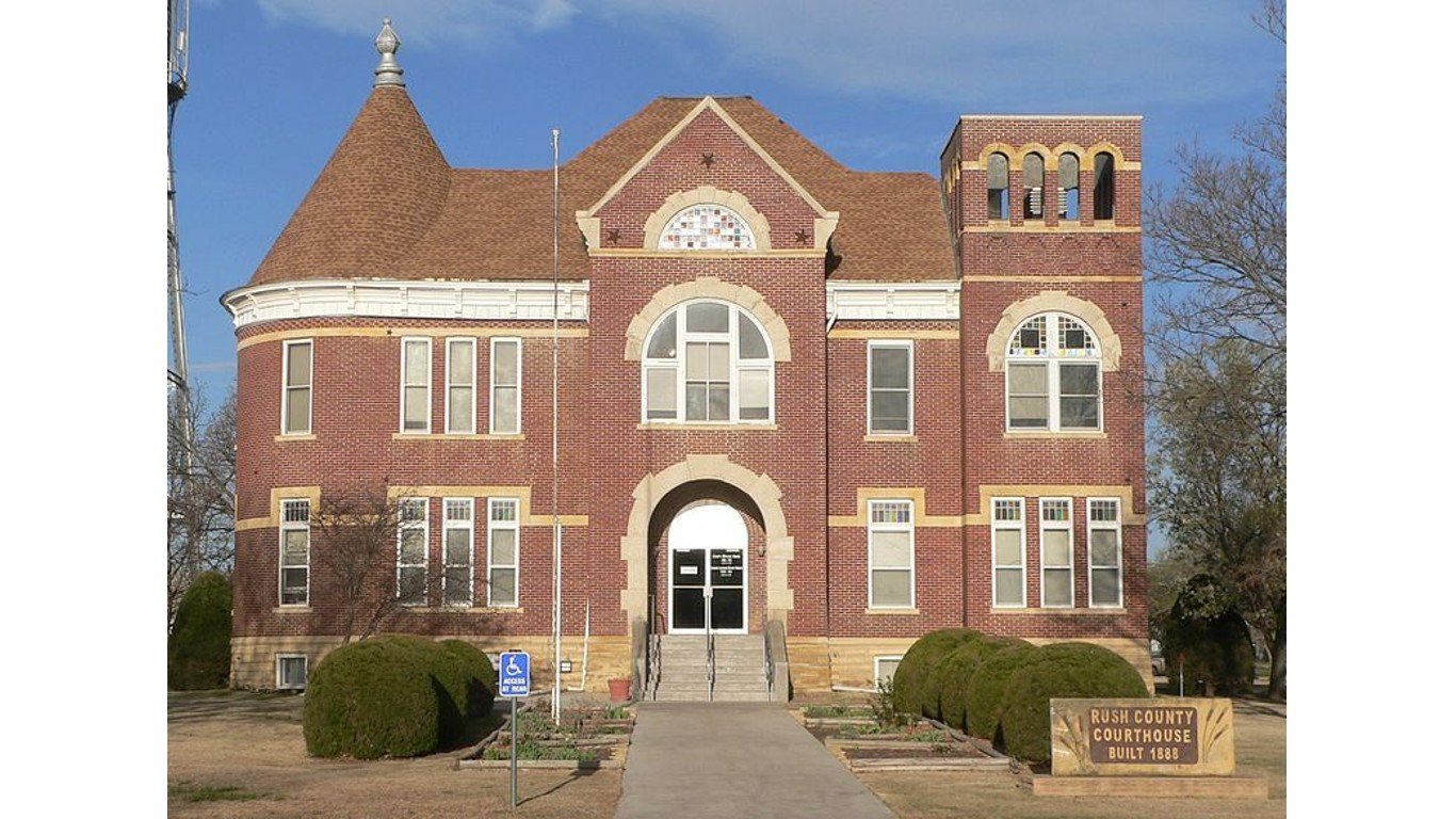
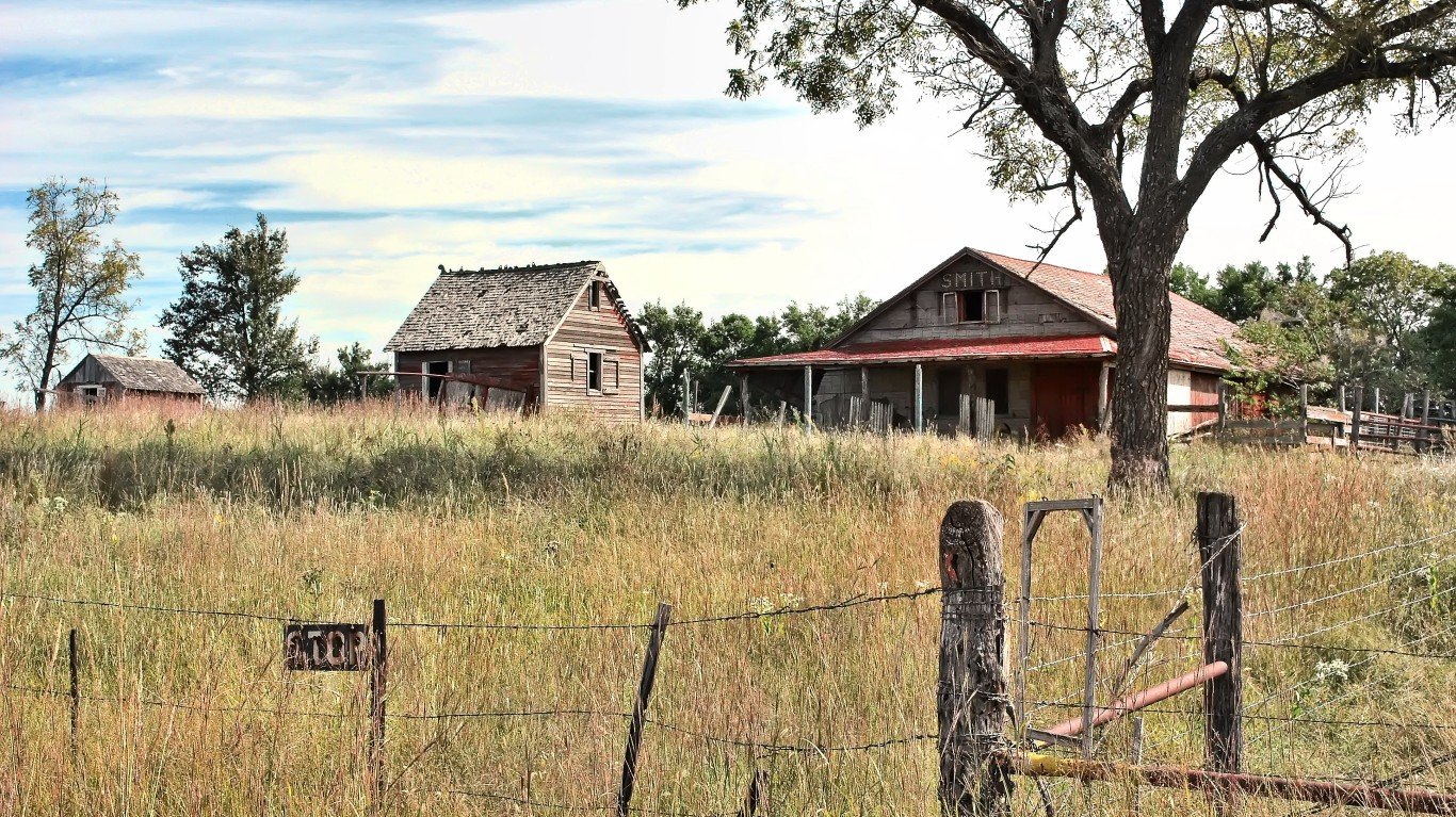
19. Rush, Kansas
> Land area in “exceptional” drought: 37.7% (270 square miles)
> Population of area in “exceptional” drought: 1,246
> Land area in “extreme” drought: 100.0% (717 square miles)
> Population of area in “extreme” drought: 3,307
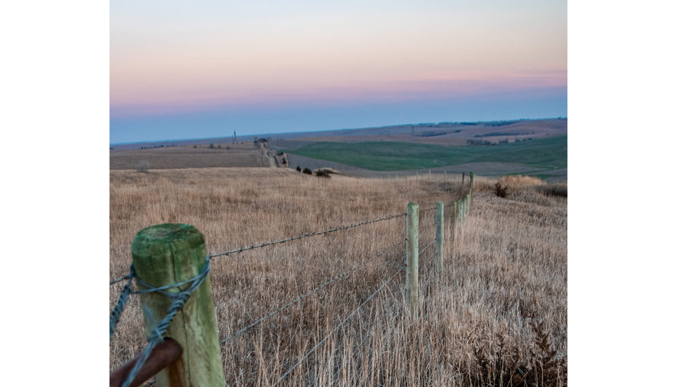
18. Nance, Nebraska
> Land area in “exceptional” drought: 37.7% (169 square miles)
> Population of area in “exceptional” drought: 1,409
> Land area in “extreme” drought: 98.8% (443 square miles)
> Population of area in “extreme” drought: 3,691
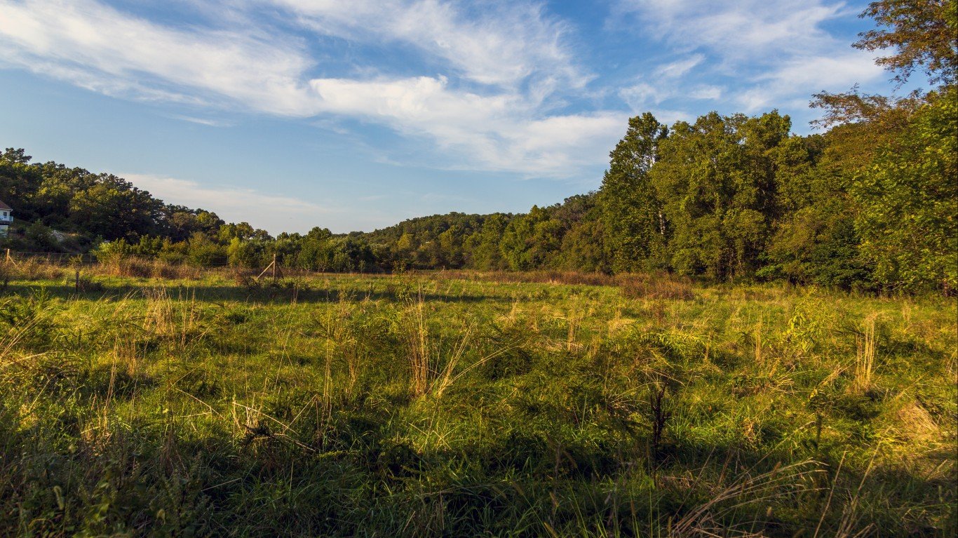
17. Osage, Missouri
> Land area in “exceptional” drought: 40.3% (244 square miles)
> Population of area in “exceptional” drought: 5,591
> Land area in “extreme” drought: 100.0% (605 square miles)
> Population of area in “extreme” drought: 13,878
16. Cowley, Kansas
> Land area in “exceptional” drought: 40.8% (460 square miles)
> Population of area in “exceptional” drought: 14,808
> Land area in “extreme” drought: 98.3% (1,109 square miles)
> Population of area in “extreme” drought: 35,708


