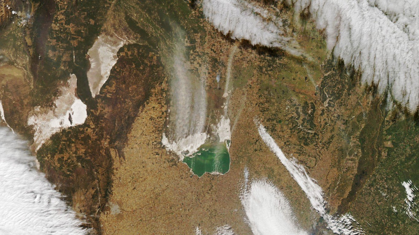
Lake Mar Chiquita, Argentina
Mar Chiquita is an endorheic, or closed-basin, shallow salt lake in central Argentina. When its water level is high, the lake covers as much as 2,300 square miles. When low, it shrinks to 770 square miles, exposing large tracts of salt and mud flats. The lake, once a tourist spot, is slowly losing water volume because of increased evaporation and the elevation of its bottom, and scientists believe it will eventually turn into a salt flat.
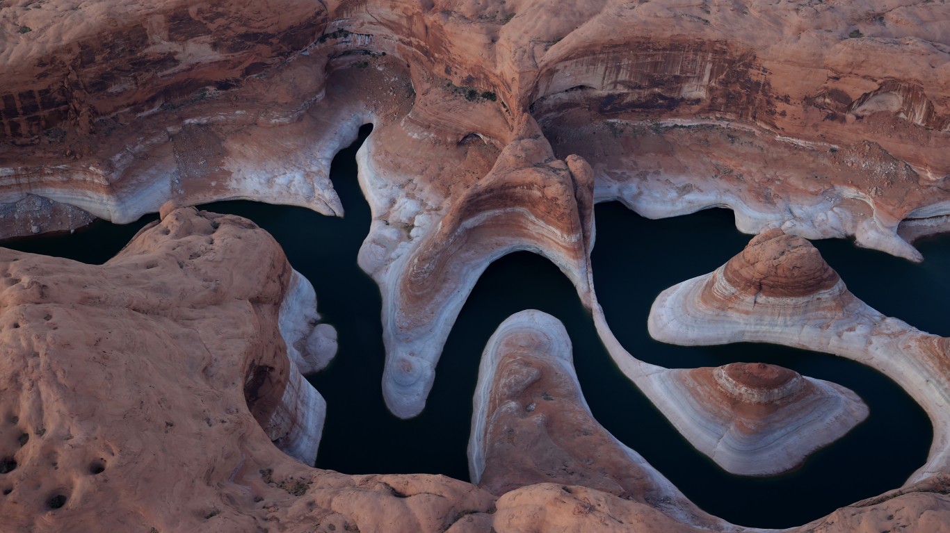
Lake Powell, Utah & Arizona
In February, water levels in Lake Powell, formed by the Colorado River flowing into Glen Canyon, dropped to 3,522.16 feet above sea level, below the prior record set in April 2022. The nation’s second-largest reservoir, on the border of Utah and Arizona, it suffers from the effects of climate change, including sustained drought conditions, and from increased demand for its water, which is used by seven states.
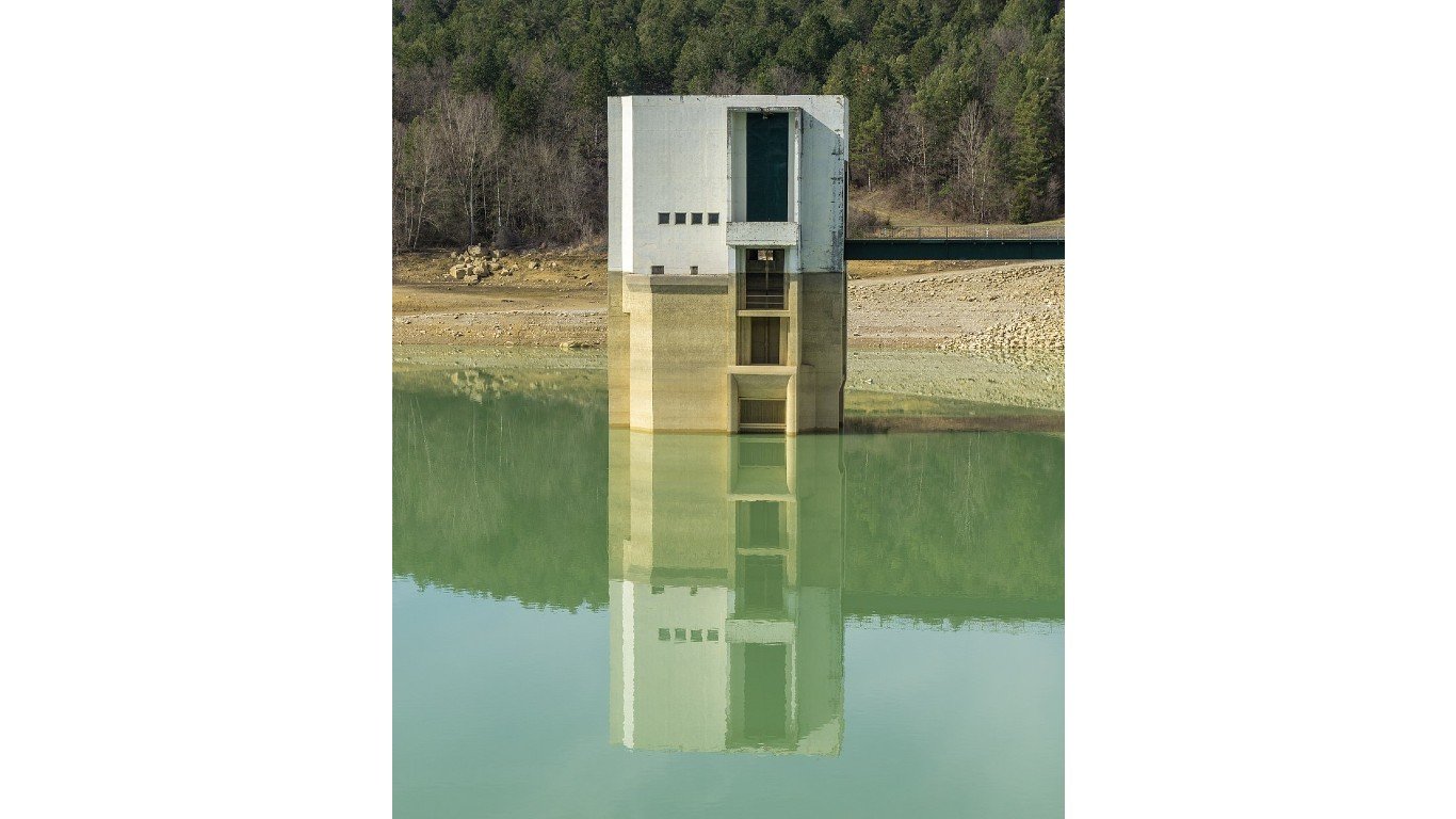
Lake Montbel, France
Lake Montbel, or Lac de Montbel, at the foot of the Pyrenees Mountains in southern France, was at 28% capacity as of March. The lake began receding in the summer of 2022 and the region’s driest winter in more than six decades has exacerbated the dire situation. France had more than 30 straight days with no measurable rainfall between January and February. That’s the longest period since record-keeping began in 1959. In addition, snowfall has been very low, meaning a decrease in snowmelt that replenishes the rivers that feed the lake.
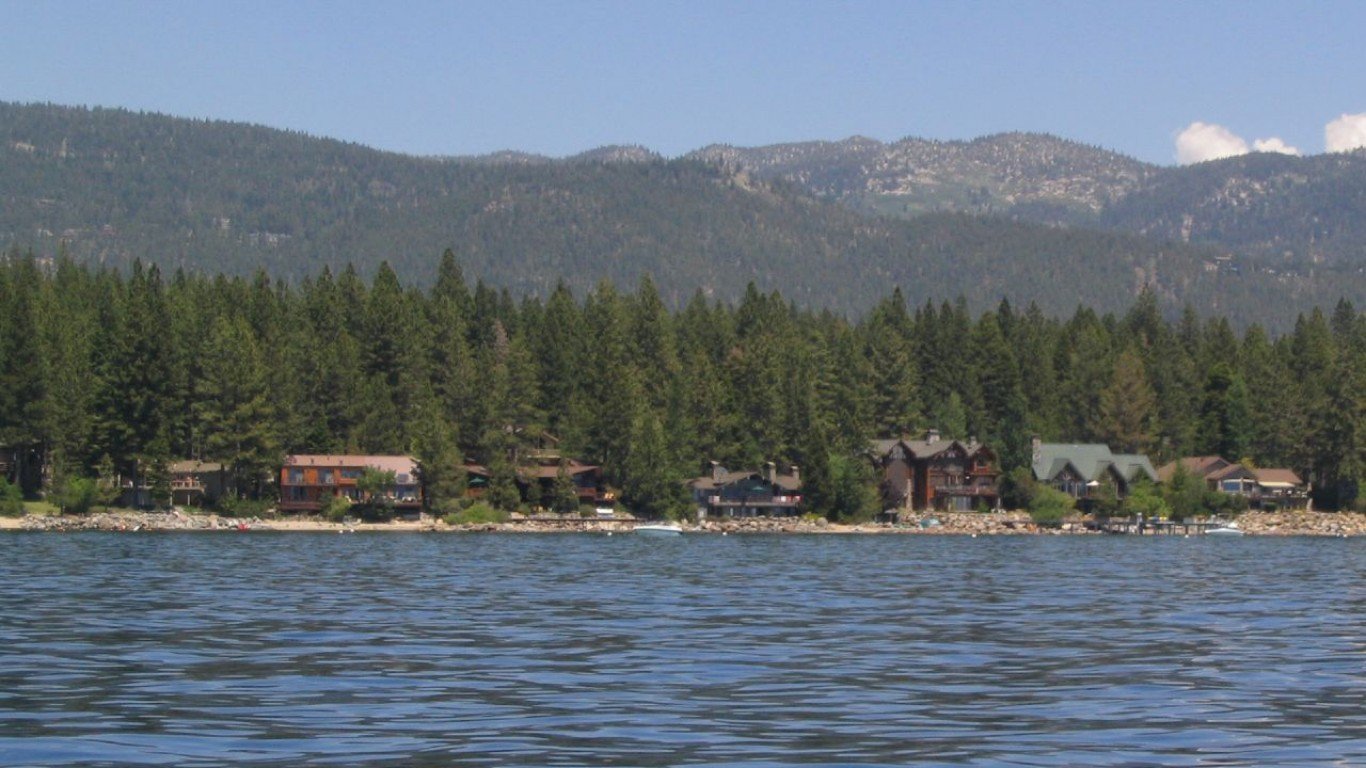
Lake Tahoe, Nevada & California
Lake Tahoe, on the border of Nevada and California, is one of the highest lakes in the world, at 6,225 feet above sea level. The largest alpine lake in North America, Tahoe has suffered in recent years because of drought, wildfires, toxic runoff, and litter. So far, the water level has receded by only a few feet, with last fall marking its lowest point in recent years, but the melting snowpack this year has helped refill it almost to its maximum capacity. Nonetheless, drought will be an ongoing problem at least until the end of this decade – and whenever the lake falls below its natural rim of 6,223 feet, as it did in 2012, it stops flowing into the Truckee River, of which it is an important source.
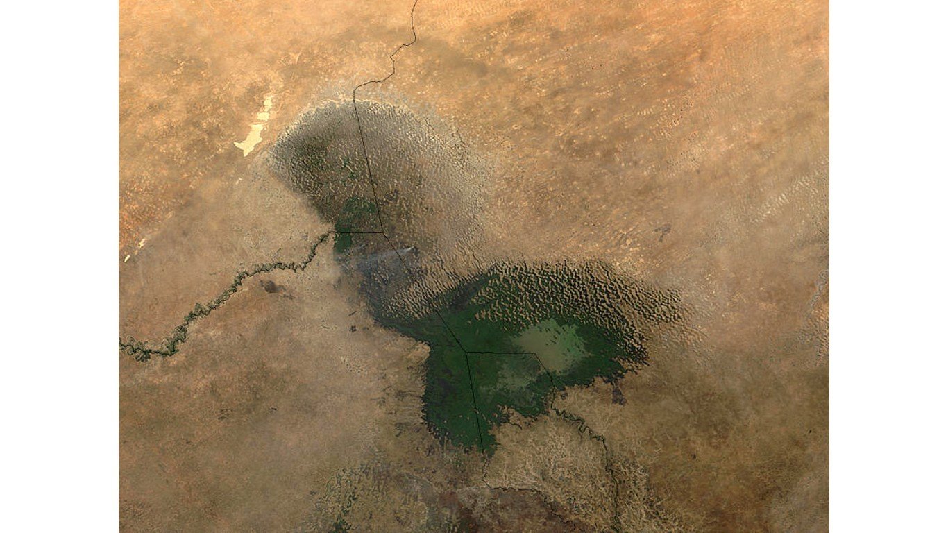
Lake Chad, Nigeria/Niger/Chad/Cameroon
Once the size of the Caspian Sea, Lake Chad has shrunk by around 90% since the 1960s. Water is receding due to reduction in precipitation due to climate change, development of modern irrigation systems for agriculture, and the increasing demand for freshwater as local populations grow. The four nations that share its shoreline, along with Libya and the Central African Republic, have joined together to form the Lake Chad Basin Commission, one of whose projects is the construction of a 1,490-mile canal to transport water to the lake from the Congo River.
