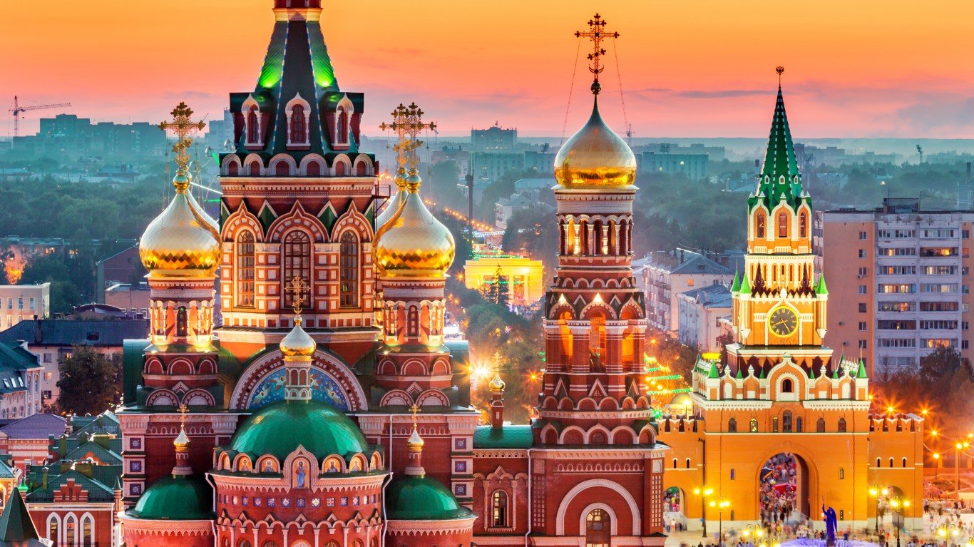
15. Russia
> Population density: 23 people per square mile
> Est. population 2020: 144,104,080 — #9 out of 217 countries
> Land area: 6,323,142 square miles — #1 out of 217 countries
> Population growth, 2015-2020: 0.0%
The largest country on Earth, Russia, encompasses over 6.3 million square miles. Much of the northern forests are cold enough to be uninhabitable, and most of the population is gathered in the western and southern parts of the country. One major blow to the population of the country was World War II, when the Soviet Union lost an estimated 26.6 million people. The echo of this generation gap circles back around every 25 years or so, when the descendants of those who survived don’t reproduce enough to keep the population stable.
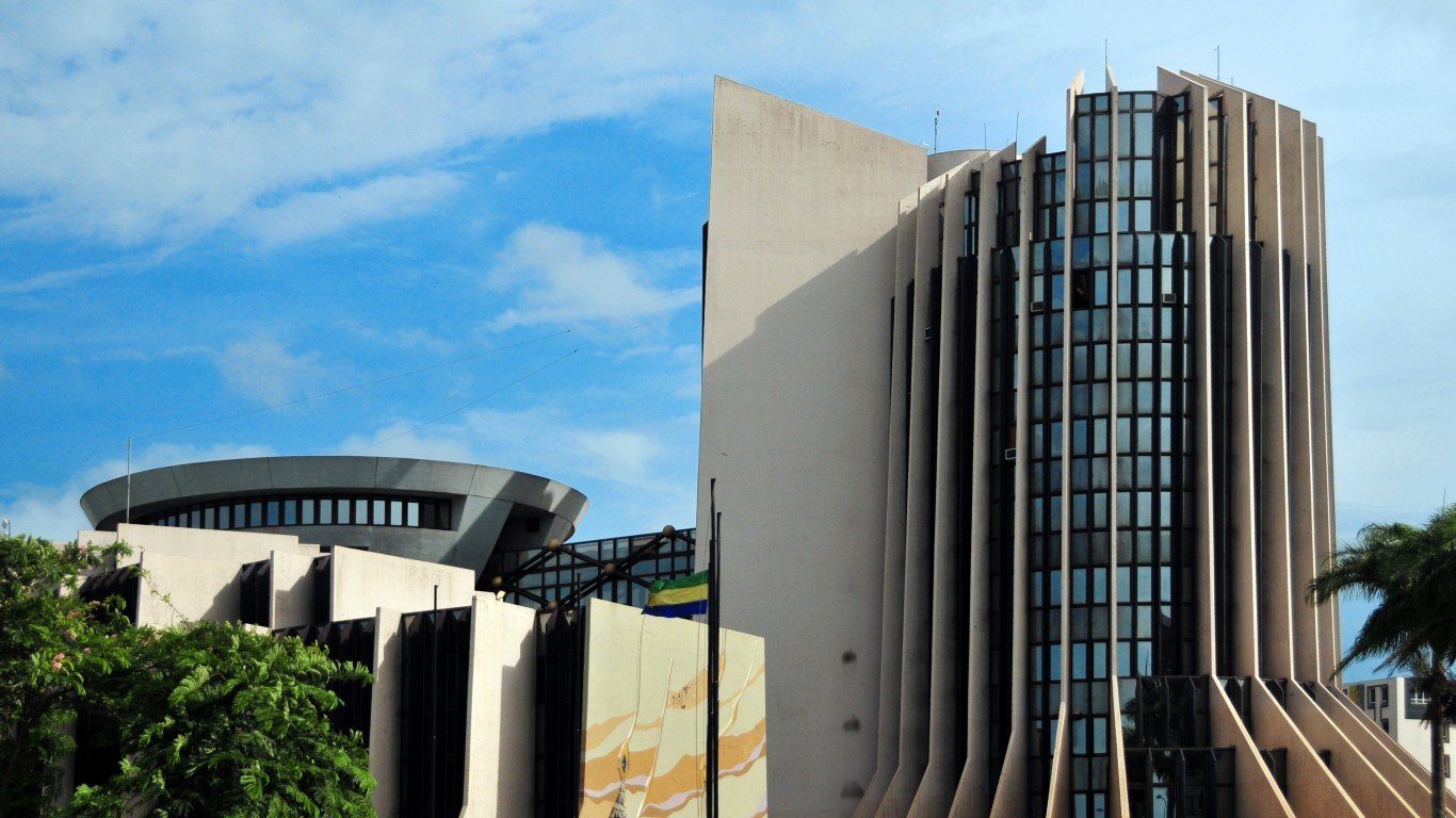
14. Gabon
> Population density: 22 people per square mile
> Est. population 2020: 2,225,728 — #144 out of 217 countries
> Land area: 99,487 square miles — #76 out of 217 countries
> Population growth, 2015-2020: 14.3%
This coastal African country roughly the size of Colorado is over 80% rainforest, and nearly 90% of its population lives in urban centers — half of those in the capital city of Libreville. The rest live in small rural villages.
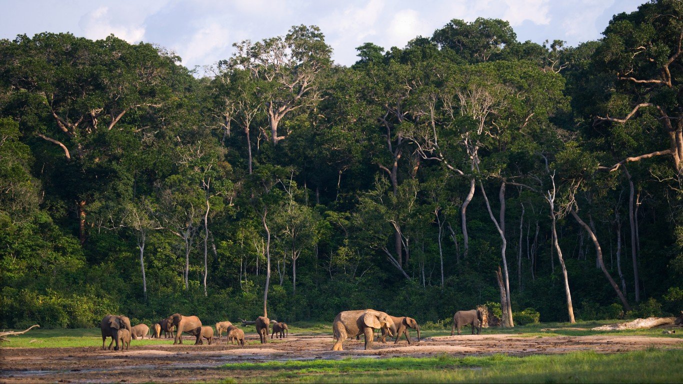
13. Central African Republic
> Population density: 20 people per square mile
> Est. population 2020: 4,829,764 — #124 out of 217 countries
> Land area: 240,534 square miles — #43 out of 217 countries
> Population growth, 2015-2020: 7.5%
The Central African Republic is a landlocked country nearly the size of Texas. Its population has quadrupled since the 1960s. Deaths from treatable diseases reflect the rampant poverty and lack of health care infrastructure in many areas, especially the diamond-mining region.
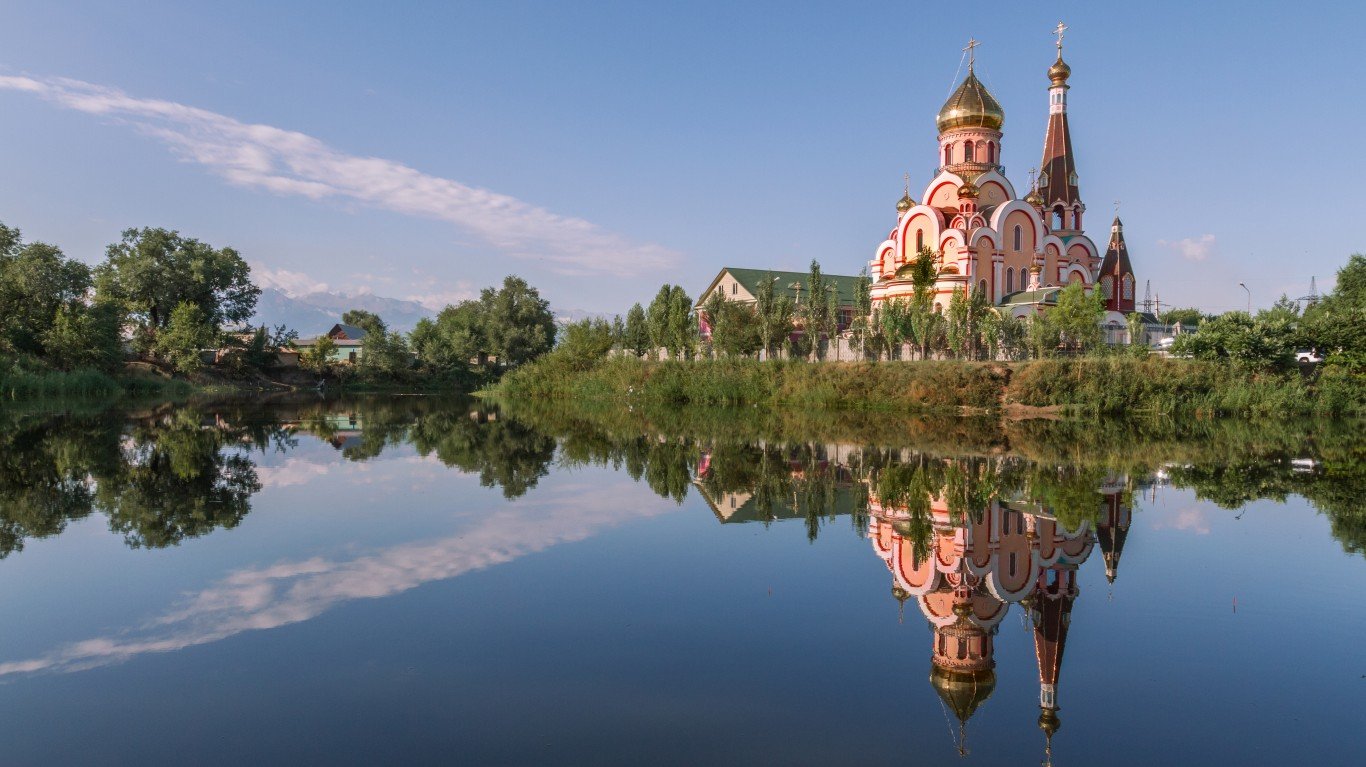
12. Kazakhstan
> Population density: 18 people per square mile
> Est. population 2020: 18,754,440 — #63 out of 217 countries
> Land area: 1,042,360 square miles — #9 out of 217 countries
> Population growth, 2015-2020: 6.9%
The world’s largest landlocked country, Kazakhstan, is largely arid and semi-arid steppe. Many areas of the country are radioactive or toxic due to a history of Soviet arms testing. The population centers are clustered around urban areas in the north and south, as the interior of the country is the most arid.
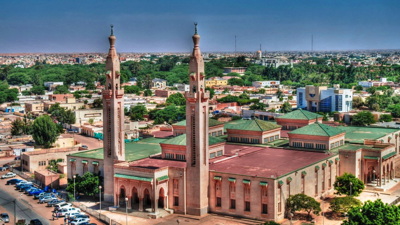
11. Mauritania
> Population density: 12 people per square mile
> Est. population 2020: 4,649,660 — #126 out of 217 countries
> Land area: 397,955 square miles — #28 out of 217 countries
> Population growth, 2015-2020: 14.9%
A coastal country in western Africa, Mauritania is largely a barren desert. As much of the country is uninhabitable, half of Mauritania’s population resides in the capital city of Nouakchott on the coast, with the other population centers lying along the southern border. Long periods of drought are causing the desert to expand, forcing many nomadic peoples and farmers into urban areas.

 24/7 Tempo


