Source: Sharan Singh / iStock via Getty Images
3. Maine
> Land covered by forest & woodland: 76.6%
> Area covered by forest & woodland: 17.3 million acres
> Other major land cover types: Open water (12.1%); agricultural & developed vegetation (4.0%); developed & other human use (3.4%)

Source: aheflin / Getty Images
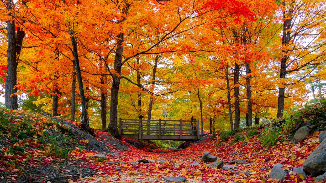
2. West Virginia
> Land covered by forest & woodland: 80.1%
> Area covered by forest & woodland: 12.4 million acres
> Other major land cover types: Agricultural & developed vegetation (9.0%); developed & other human use (7.3%); recently disturbed or modified (1.5%)
 24/7 Tempo
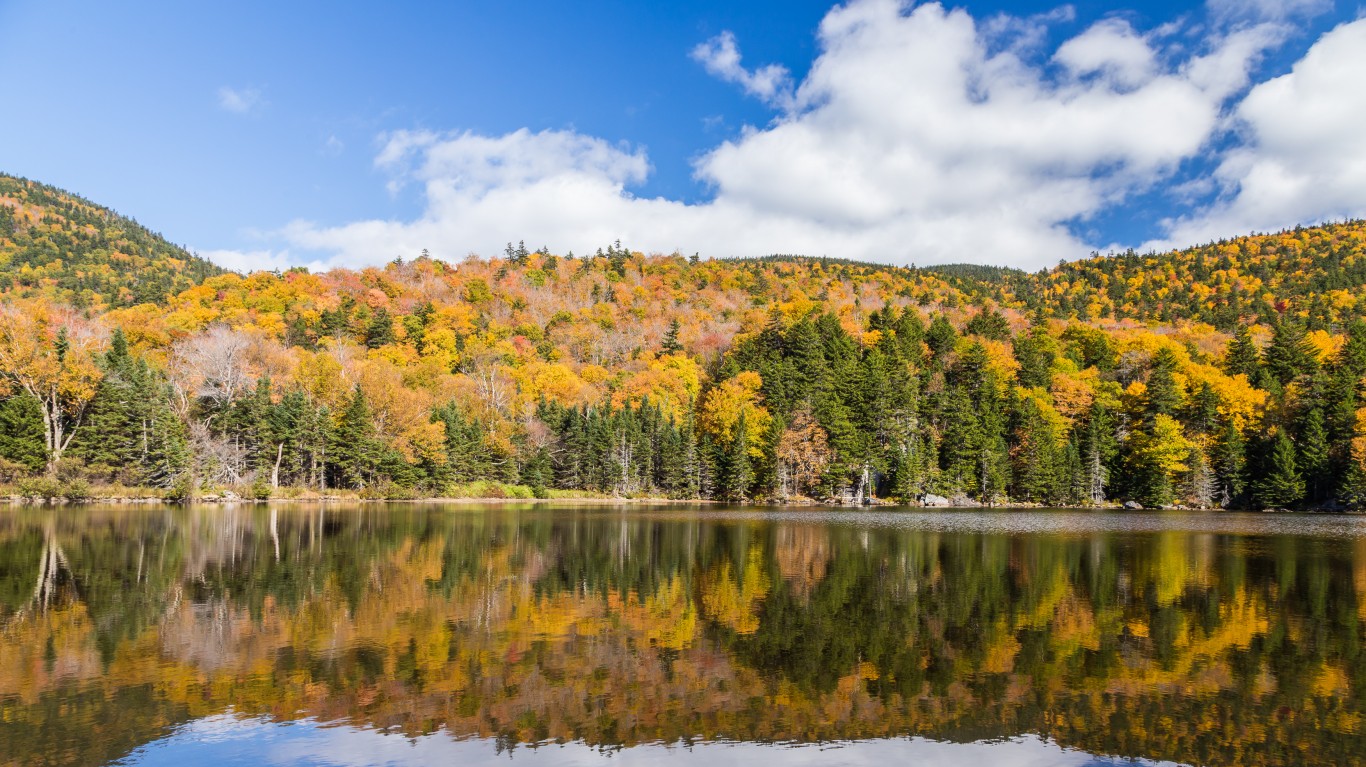
Source: kanonsky / iStock via Getty Images
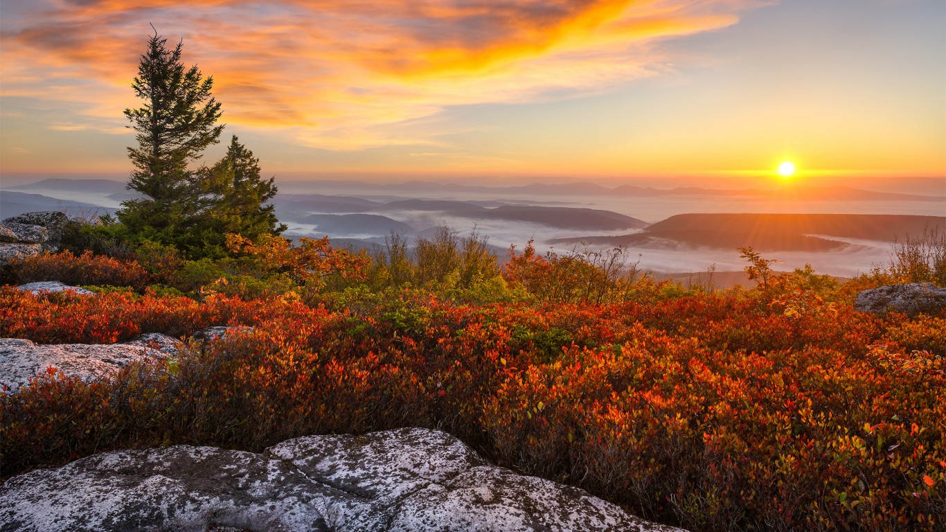
1. New Hampshire
> Land covered by forest & woodland: 80.3%
> Area covered by forest & woodland: 4.8 million acres
> Other major land cover types: Developed & other human use (8.1%); agricultural & developed vegetation (4.2%); open water (4.0%)


