15. Texas
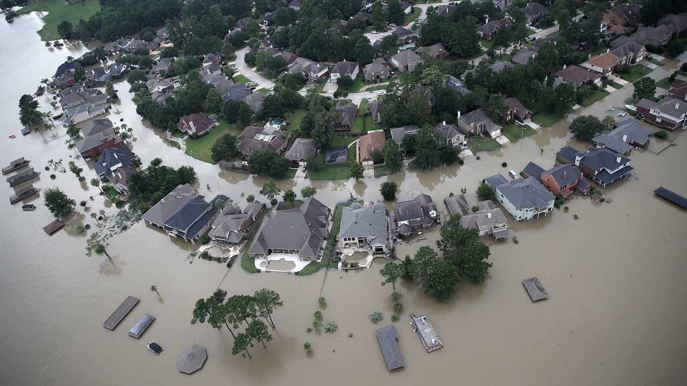
> Pct. state designated Flood Hazard Area, EPA 2020: 13.0% (34,886 sq. mi.)
> County with highest coastline flood risk index score: Cameron (61.4/100 – Relatively High)
> County with highest riverine flood risk index score: Harris (100.0/100 – Very High)
> State population, 2021: 29,527,941

14. Illinois
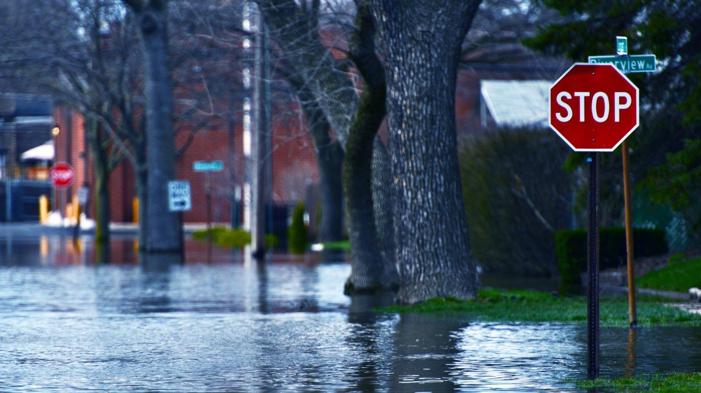
> Pct. state designated Flood Hazard Area, EPA 2020: 13.3% (7,696 sq. mi.)
> County with highest coastline flood risk index score: N/A
> County with highest riverine flood risk index score: Cook (40.9/100 – Very Low)
> State population, 2021: 12,671,469

13. New Jersey
> Pct. state designated Flood Hazard Area, EPA 2020: 13.5% (1,181 sq. mi.)
> County with highest coastline flood risk index score: Ocean (100.0/100 – Very High)
> County with highest riverine flood risk index score: Ocean (28.6/100 – Relatively High)
> State population, 2021: 9,267,130

12. Utah
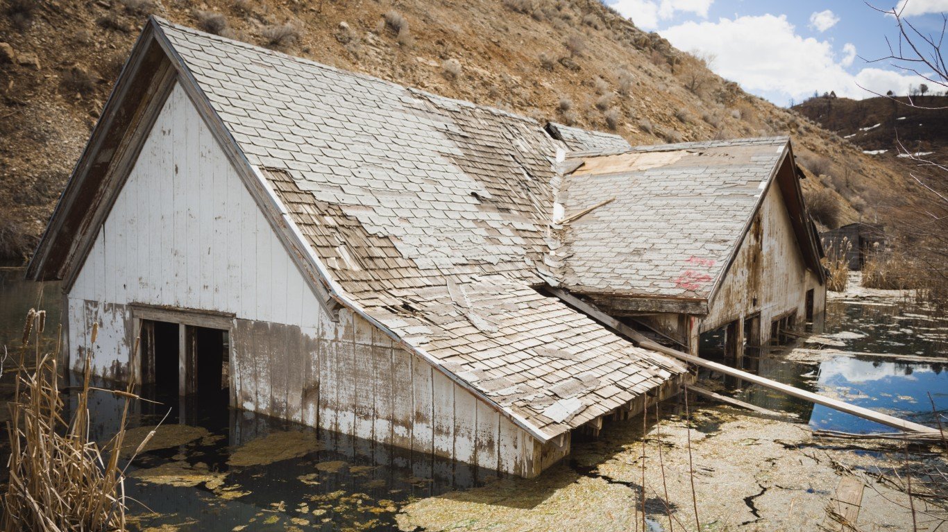
> Pct. state designated Flood Hazard Area, EPA 2020: 13.7% (11,637 sq. mi.)
> County with highest coastline flood risk index score: Salt Lake (3.2/100 – Very Low)
> County with highest riverine flood risk index score: Washington (39.3/100 – Relatively Moderate)
> State population, 2021: 3,337,975
11. Delaware
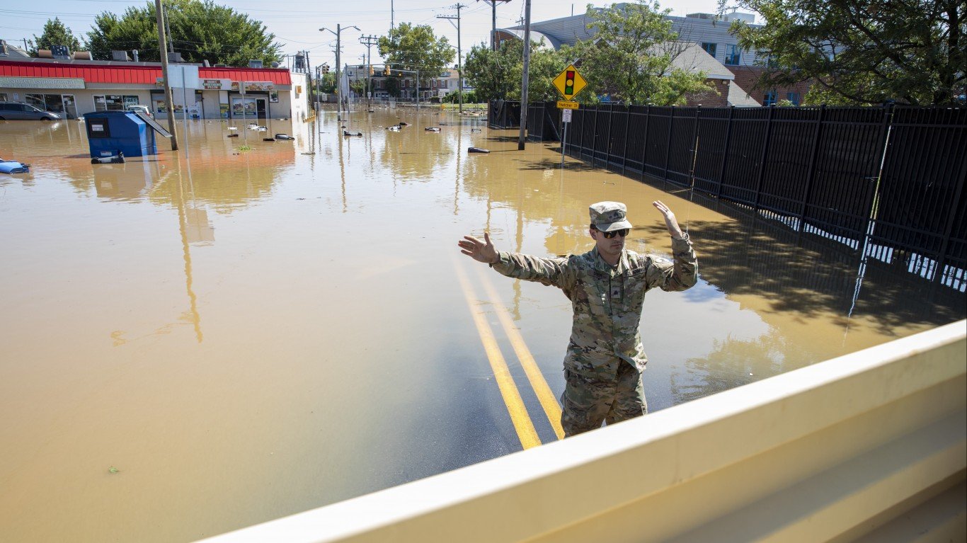
> Pct. state designated Flood Hazard Area, EPA 2020: 13.8% (343 sq. mi.)
> County with highest coastline flood risk index score: Sussex (38.4/100 – Relatively High)
> County with highest riverine flood risk index score: New Castle (12.4/100 – Relatively Moderate)
> State population, 2021: 1,003,384


