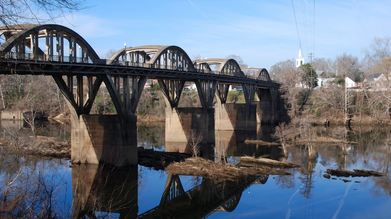
5. Coosa River (AL, GA)
> Length: 286 miles
> Threat: Industrial agricultural pollution
> At risk: Clean drinking water, public health, wildlife habitat
When dams and reservoirs transformed the Coosa River in the 1900s it caused one of the largest mass extinctions of flora and fauna in American history, wiping out more than 30 unique species. However, the Coosa is still home to more biodiversity than any other river in the Mobile River Basin. Unfortunately, massive industrial poultry farms along its banks are flooding the river with millions of tons of chicken feces, polluting drinking water and threatening the health of the river and the species that rely on it.

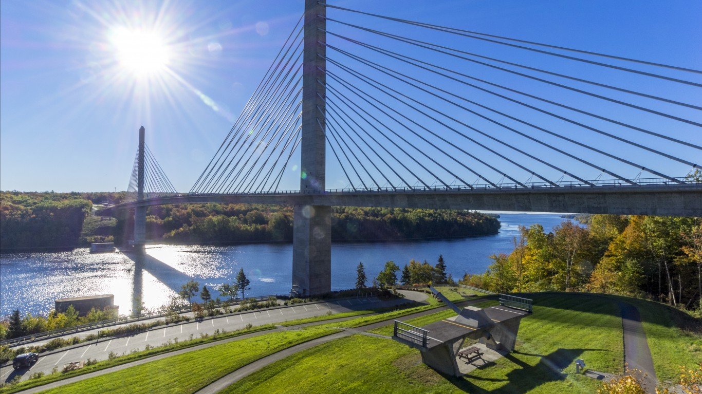
4. Atlantic Salmon Rivers (Kennebec, Penobscot, and Union) (ME)
> Length: 522 miles
> Threat: Dams
> At risk: Atlantic salmon, tribal sustenance, clean water
Most of us aren’t even aware that wild Atlantic salmon once swam freely throughout New England’s rivers, and that’s because these populations have been largely wiped out, only returning every year to a handful of rivers in Maine. Dams along these rivers have driven these critically endangered fish to the brink of extinction by not permitting them to swim upstream.
 24/7 Tempo
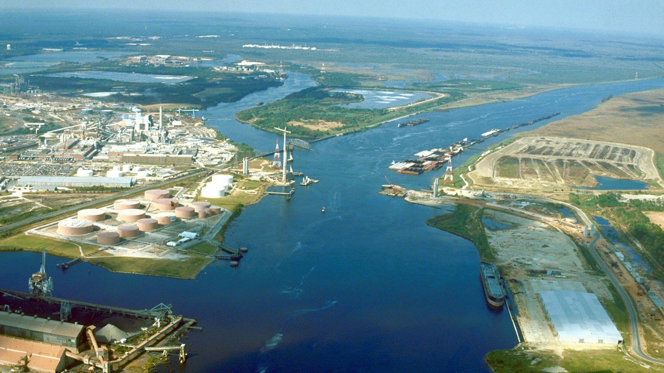
3. Mobile River (AL)
> Length: 45 miles
> Threat: Coal ash pollution
> At risk: Clean water, public health, biodiversity, groundwater
The Mobile River watershed accounts for 14% of America’s total flowing freshwater. It’s also an important source of fish, mode of transportation, and outlet for recreation, including fishing, boating, and kayaking. However, a coal ash pond at Alabama Power Plant Barry, along the banks of the river, contains more than 21 million tons of coal ash (which contains countless heavy metals and carcinogens) that is leaking into the river.
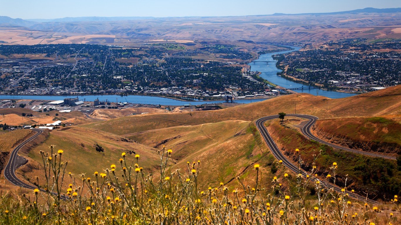
2. Snake River (ID, OR, WA)
> Length: 1,040 miles
> Threat: Four federal dams
> At risk: Tribal Treaty rights and culture, endangered salmon runs, rural communities, local economies
The Snake River once produced nearly 40% of the Columbia River Basin’s prized chinook salmon, supporting the region’s Tribal Nations as well as the entire food web from salamanders to killer whales. Between 1955 to 1975, however, the U.S. Army Corps of Engineers built four dams on the Lower Snake River in southeastern Washington in order to generate a small amount of hydropower and allow barge access, which devastated the salmon population. Wild salmon returns plummeted by more than 90% after dam construction, driving the population to the brink of extinction and creating reservoirs with temperatures too high for salmon, but perfect for non-native invasive predators.
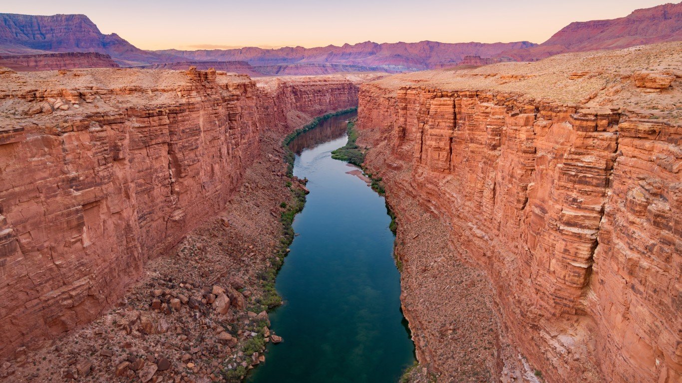
1. Colorado River (AZ, CA, NV, CO, UT, NM, WY, northern Mexico)
> Length: 1,450 miles
> Threat: Climate change, outdated management
> At risk: Reliable water supplies, regional economy, river health
The Colorado River is one of America’s most vital lifelines, providing drinking water for 40 million people, irrigating millions of acres of land, and supporting a $1.4 trillion economy that includes hundreds of thousands of jobs. However, due to climate change-induced drought, river flows are at historically low levels (as are Lake Powell and Lake Mead), and there is simply not enough water to support all current needs. Climate change is also expected to further lower the river’s flow by 10-30% by 2050. Many cities and towns supplied by the river are expected to lose access to water for drinking and irrigation over the coming years, and mismanagement and overallocation of limited water supplies are adding insult to injury.


