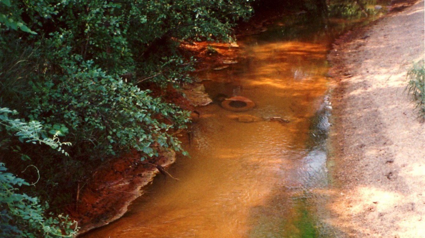
10. Tar Creek (OK)
> Length: 11 miles
> Threat: Mining pollution
> At risk: Clean water, public health
Oklahoma’s Tar Creek flows through what was once rich grassland, supporting a rich ecosystem of fish, mussels, and plants. Due to decades of mining, however, toxic mine water contaminated with heavy metals including zinc, arsenic, and cadmium has flowed into the creek at the rate of a million gallons a day since 1979. Most of the aquatic life has been killed and the water is orange. The surrounding area is one of America’s largest EPA Superfund sites, targeted for the mitigation of hazardous substances.

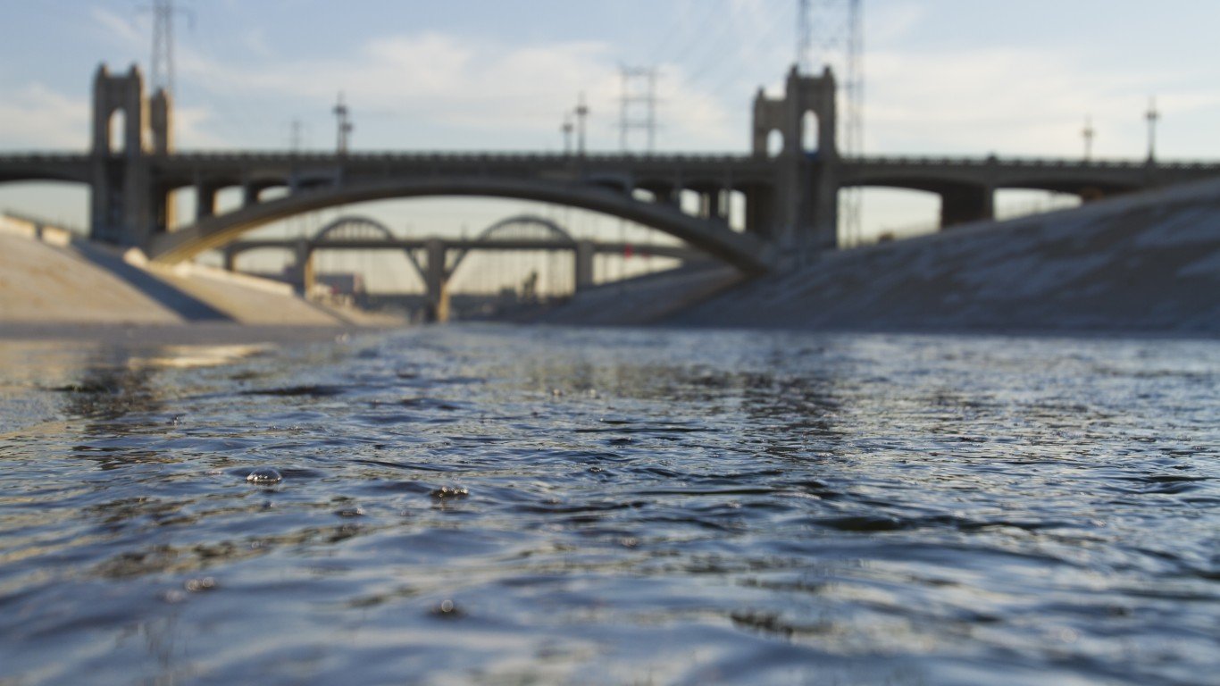
9. Los Angeles River (CA)
> Length: 55 miles
> Threat: Inadequate management, climate change, pollution
> At risk: Clean water, healthy communities, wildlife habitat
Once a primary water source for the region’s Tribal Nations, the LA River is today primarily a concrete flood control channel, with only 5% of its natural sections remaining. It’s prone to flooding during large storms, and communities built along its banks are in harm’s way. Its future hangs in the balance, as one vision prioritizes using the river as a way to protect nature and connect communities and another seeks to divert water from the river, perhaps leading to it going permanently dry.
 24/7 Tempo
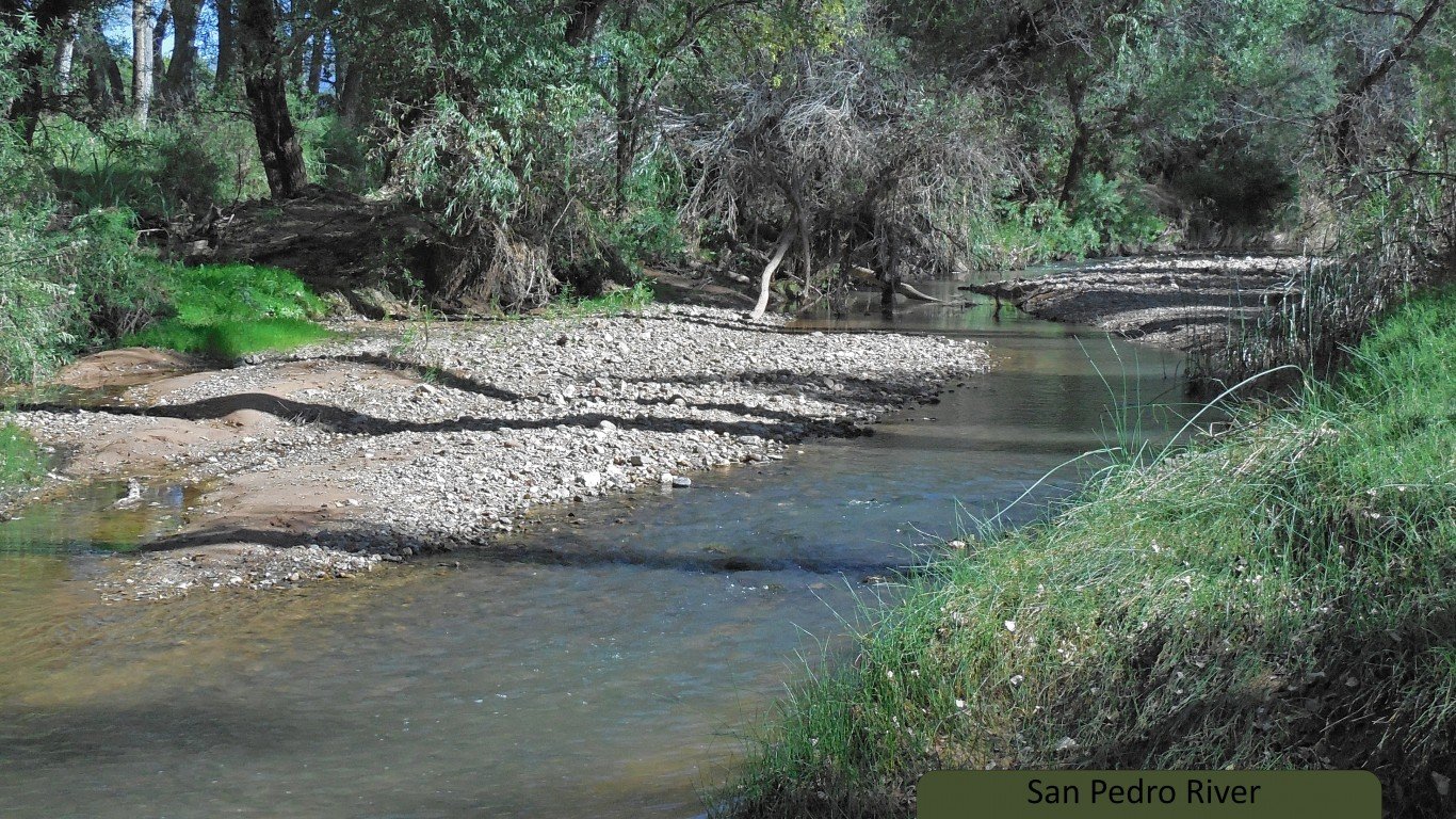
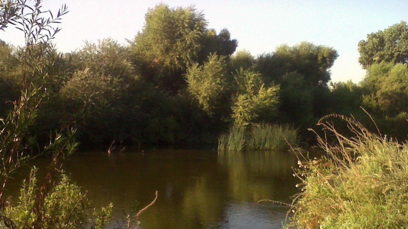
8. San Pedro River (AZ)
> Length: 175 miles
> Threat: Unregulated groundwater pumping, poorly planned development
> At risk: Endangered species, riparian ecosystems, migratory birds
One of the last free-flowing major rivers in the desert Southwest, Arizona’s San Pedro River supports one of the country’s most diverse ecosystems, including nearly half of the 900 species of migratory birds in North America as well as endangered and threatened land species including jaguars and ocelots. However, due to poorly-planned development, too much groundwater pumping is causing sections of the river to dry up. At the same time, the Trump administration’s rollbacks to the Clean Water Act removed protections for seasonal and intermittent streams, which encompass almost 94% of the river’s waterways.
7. Lower Kern River (CA)
> Length: 70 miles
> Threat: Excessive water withdrawals
> At risk: Fish and wildlife habitat, community access to river
For much of its run, the Kern River flows through the mountains of Central California, serving as one of the state’s top destinations for white water rafting, fishing, and kayaking. Once it reaches Bakersfield, however, the river’s last 25-mile stretch is diverted in order to irrigate fields, and what remains is a dusty, dry riverbed that’s largely bereft of life. It can flow again if only 15-20% of the river’s average flow is allowed to remain, which can be achieved by forcing local water districts to adhere to minimum flow requirements.
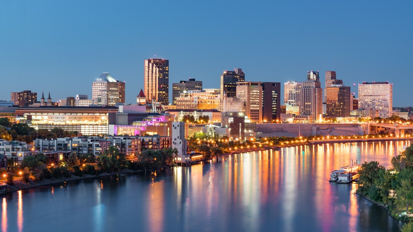
6. Mississippi River (MN, WI, IL, IA, MO, TN, AR, MS, LA)
> Length: 2,340 miles
> Threat: Pollution, habitat loss
> At risk: Clean water, fish and wildlife habitat, biodiversity, local economies, public health and safety
Yes, even the mighty Mississippi River is threatened. The river supports millions of people as well as countless hundreds of species of birds, fish, and other wildlife, and is one of North America’s most crucial lifelines. However, pollution and contamination of the river from farm fertilizer and industry goes largely unchecked, existing infrastructure is insufficient to handle climate change-driven effects including flooding, new development is draining wetlands, and rising temperatures are causing toxic algae outbreaks that create dead zones.


